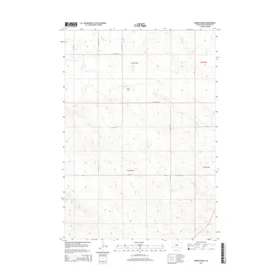
2015 Map of Bowen Ranch
USGS Topo · Published 2015About this map
The Bowen Ranch sits at the heart of this rangeland in Haakon County, where the high plains are carved by the intricate drainage systems of the N Fork Bad River. This landscape is defined by the ephemeral flows of Deadmans Cr, Mexican Cr, and Dry Cr, reflecting the arid and remote character of central South Dakota's ranching country. The sparse infrastructure consists primarily of a grid-like section line road network, including E Grindstone Rd and Deadman Creek Rd, which provide access across the rolling breaks. The mapping captures the precise topography of the river valleys and upland divides, showing the delicate balance of water and land in a region where names like Deadmans Cr suggest a storied local history of frontier survival.
Find a feature on this map
17 named features on this map. Tap any name to fly to it.
Don’t see what you’re looking for? This feature index may not catch every label — zoom into the map to look around manually.
Map Details
Editions of this 2015 Bowen Ranch Map
This is the sole edition of this map. No revisions or reprints were ever made.
Other maps of this area
1953 · Philip Junction
USGS Topo · 1:24,000
1953 · Philip
USGS Topo · 1:24,000

1954 · Pierre
USGS Topo · 1:250,000

1955 · Martin
USGS Topo · 1:250,000

1958 · Pierre
USGS Topo · 1:250,000

1958 · Martin
USGS Topo · 1:250,000
1961 · Cottonwood
USGS Topo · 1:24,000
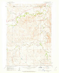
1961 · Cottonwood NE
USGS Topo · 1:24,000
1980 · Kadoka
USGS Topo · 1:100,000
1983 · Philip
USGS Topo · 1:100,000