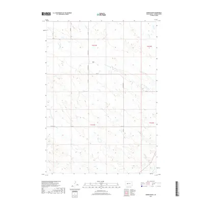
2017 Map of Bowen Ranch
USGS Topo · Published 2017About this map
Bowen Ranch anchors this portion of Haakon County, situated near the winding course of the N Fork Bad River. The landscape is defined by its drainage systems, where small tributaries like Deadmans Cr and Mexican Cr flow through the northern sections while Dry Cr and the S Fork Bad River carve through the southern reaches. This 2017 survey illustrates the sparse, rural nature of the South Dakota prairie, where a grid of section-line roads, including 213th Ave and 229th St, provides the primary infrastructure for local ranching operations. The mapping of township boundaries like t2n r19e and t1n r20e highlights the enduring importance of the Public Land Survey System in organizing this expansive open country.
Find a feature on this map
19 named features on this map. Tap any name to fly to it.
Don’t see what you’re looking for? This feature index may not catch every label — zoom into the map to look around manually.
Map Details
Editions of this 2017 Bowen Ranch Map
This is the sole edition of this map. No revisions or reprints were ever made.
Other maps of this area
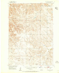
1953 · Philip Junction
USGS Topo · 1:24,000
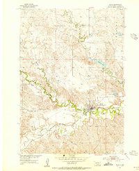
1953 · Philip
USGS Topo · 1:24,000

1954 · Pierre
USGS Topo · 1:250,000

1955 · Martin
USGS Topo · 1:250,000

1958 · Pierre
USGS Topo · 1:250,000

1958 · Martin
USGS Topo · 1:250,000
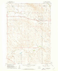
1961 · Cottonwood
USGS Topo · 1:24,000
1961 · Cottonwood NE
USGS Topo · 1:24,000
1980 · Kadoka
USGS Topo · 1:100,000
1983 · Philip
USGS Topo · 1:100,000