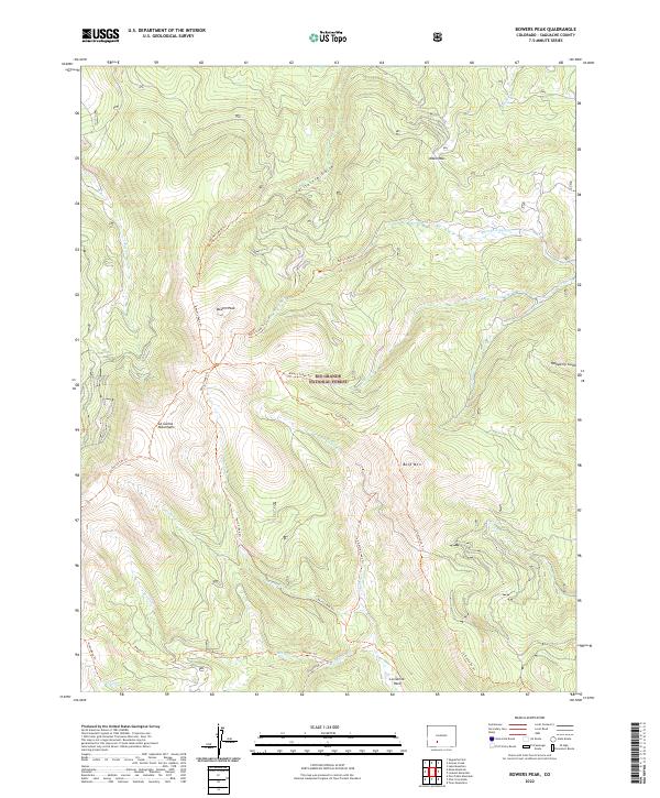
2022 Map of Bowers Peak
USGS Topo · Published 2022About this map
The Rio Grande National Forest dominates this high-altitude landscape in the La Garita Mountains, where the Continental Divide’s influence is felt through a complex network of drainages and peaks. Bowers Peak and Boot Mtn serve as the primary topographical anchors, surrounded by a dense system of historic forest trails. These routes, including the Bower's Peak Trl and the La Garita Creek Trl, trace the same difficult terrain navigated by early surveyors and forest rangers. The map reveals a land defined by its water sources, from California Gulch in the north to Groundhog Cr in the south. The inclusion of La Garita Park suggests a transition from steep timberline slopes to the more open, high-meadow grazing areas utilized during the era. This document preserves the exact trail alignments and watershed names essential for understanding the seasonal movement and resource management in this corner of the Colorado high country.
Find a feature on this map
28 named features on this map. Tap any name to fly to it.
Don’t see what you’re looking for? This feature index may not catch every label — zoom into the map to look around manually.
Map Details
Editions of this 2022 Bowers Peak Map
This is the sole edition of this map. No revisions or reprints were ever made.
Other maps of this area

1914 · Creede
USGS Topo · 1:125,000

1915 · Del Norte
USGS Topo · 1:125,000

1916 · Creede
USGS Topo · 1:125,000

1917 · Del Norte
USGS Topo · 1:125,000

1945 · Durango
USGS Topo · 1:250,000

1953 · Durango
USGS Topo · 1:250,000

1954 · Durango
USGS Topo · 1:250,000

1956 · Montrose
USGS Topo · 1:250,000

1959 · Montrose
USGS Topo · 1:250,000

1960 · Montrose
USGS Topo · 1:250,000