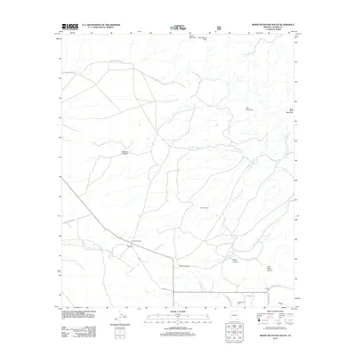
2012 Map of Bowie Mountain South
USGS Topo · Published 2012About this map
Riggs Home Ranch and other established homesteads characterize this corner of Cochise County as it appeared in 2012. The landscape is defined by the drainage networks of Big Sand Wash and Little Sand Wash, which cut through the high desert terrain. For genealogists, the map is a vital resource for locating family burial sites, including Riggs Cem, Erickson Cem, and the Neighborhood Cem.
Find a feature on this map
28 named features on this map. Tap any name to fly to it.
Don’t see what you’re looking for? This feature index may not catch every label — zoom into the map to look around manually.
Map Details
Editions of this 2012 Bowie Mountain South Map
This is the sole edition of this map. No revisions or reprints were ever made.
Other maps of this area
1916 · Pearce
USGS Topo · 1:125,000
1917 · San Simon
USGS Topo · 1:125,000
1917 · Chiricahua
USGS Topo · 1:125,000
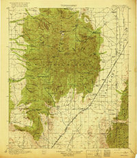
1919 · Chiricahua
USGS Topo · 1:125,000
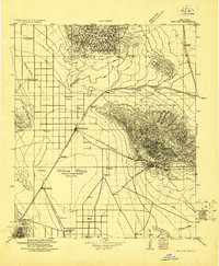
1922 · Willcox
USGS Topo · 1:125,000
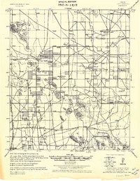
1926 · Light
USGS Topo · 1:62,500
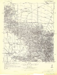
1926 · Cochise Head
USGS Topo · 1:62,500
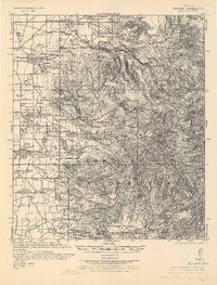
1926 · Rucker
USGS Topo · 1:62,500
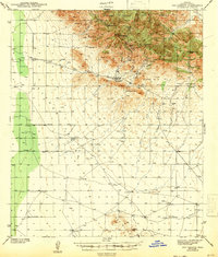
1943 · Dos Cabezas
USGS Topo · 1:62,500
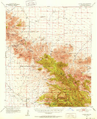
1950 · Cochise Head
USGS Topo · 1:62,500