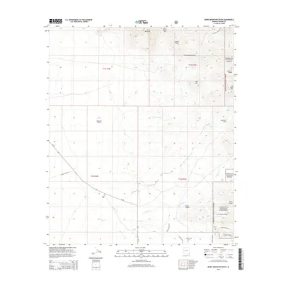
2014 Map of Bowie Mountain South
USGS Topo · Published 2014About this map
Bowie Mountain and the high northern reaches of the Chiricahua Mountains dominate this landscape within the Coronado National Forest. This 2014 survey captures a region defined by complex drainage systems and isolated landmarks, where Big Sand Wash and Little Sand Wash cut through the arid basin. Historically significant for genealogists, the map identifies local burial sites such as Riggs Cem along the route of Az-186 and Erickson Cem near the southern boundary. The inclusion of the Chiricahua National Monument border and features like Erickson Ridge and Picket Canyon illustrates the transition from public forest lands to protected geological formations. A notable human element is found at the Neighborhood Center, situated near the junction of S Hudson Ranch Rd and Az-181, serving as a modern point of reference in this sparsely populated portion of Cochise County.
Find a feature on this map
35 named features on this map. Tap any name to fly to it.
Don’t see what you’re looking for? This feature index may not catch every label — zoom into the map to look around manually.
Map Details
Editions of this 2014 Bowie Mountain South Map
This is the sole edition of this map. No revisions or reprints were ever made.
Other maps of this area
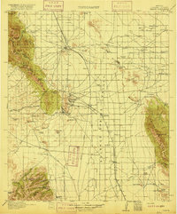
1916 · Pearce
USGS Topo · 1:125,000
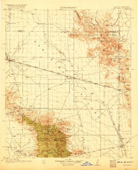
1917 · San Simon
USGS Topo · 1:125,000
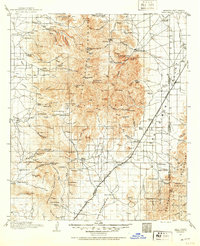
1917 · Chiricahua
USGS Topo · 1:125,000
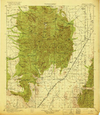
1919 · Chiricahua
USGS Topo · 1:125,000
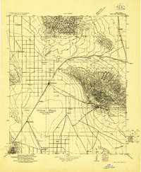
1922 · Willcox
USGS Topo · 1:125,000
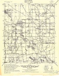
1926 · Light
USGS Topo · 1:62,500
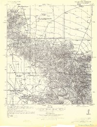
1926 · Cochise Head
USGS Topo · 1:62,500
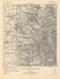
1926 · Rucker
USGS Topo · 1:62,500
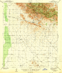
1943 · Dos Cabezas
USGS Topo · 1:62,500
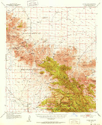
1950 · Cochise Head
USGS Topo · 1:62,500