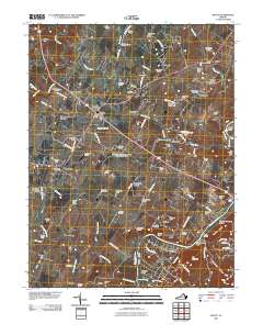
2010 Map of Boyce
USGS Topo · Published 2010About this map
Boyce and the surrounding Clarke County landscape are defined by a network of historic estates and agrarian institutions. In this 2010 survey, the University of Virginia - Blandy Experimental Farm serves as a prominent landmark between the settlements of White Post and Millwood. The landscape is dotted with ancestral family seats such as Pagebrook Estate, Tuleyries Estate, and Lucky Hit Estate, reflecting the region’s deep-seated plantation and equestrian heritage.
Find a feature on this map
112 named features on this map. Tap any name to fly to it.
Don’t see what you’re looking for? This feature index may not catch every label — zoom into the map to look around manually.
Map Details
Editions of this 2010 Boyce Map
This is the sole edition of this map. No revisions or reprints were ever made.
Other maps of this area

1884 · Harpers Ferry
USGS Topo · 1:125,000

1891 · Harpers Ferry
USGS Topo · 1:125,000

1893 · Luray
USGS Topo · 1:125,000

1893 · Harpers Ferry
USGS Topo · 1:125,000

1894 · Warrenton
USGS Topo · 1:125,000

1894 · Winchester
USGS Topo · 1:125,000

1905 · Luray
USGS Topo · 1:125,000

1916 · Berryville
USGS Topo · 1:62,500

1938 · Winchester
USGS Topo · 1:48,000

1939 · Front Royal
USGS Topo · 1:48,000