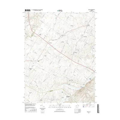
2016 Map of Boyce
USGS Topo · Published 2016About this map
Boyce and its surrounding countryside reflect a deeply rooted agricultural and social landscape where established crossroads like White Post and Millwood have long served as local centers. The terrain is marked by historical estates and small settlements, including the distinctive Greenway Court and Saratoga, situated between the winding Opequon Creek and the Shenandoah River. These watercourses define the topography, with the river south of Bethel featuring several islands such as Hardin Island and Treasure Island.
Find a feature on this map
137 named features on this map. Tap any name to fly to it.
Don’t see what you’re looking for? This feature index may not catch every label — zoom into the map to look around manually.
Map Details
Editions of this 2016 Boyce Map
This is the sole edition of this map. No revisions or reprints were ever made.
Other maps of this area

1884 · Harpers Ferry
USGS Topo · 1:125,000

1891 · Harpers Ferry
USGS Topo · 1:125,000

1893 · Luray
USGS Topo · 1:125,000

1893 · Harpers Ferry
USGS Topo · 1:125,000

1894 · Warrenton
USGS Topo · 1:125,000

1894 · Winchester
USGS Topo · 1:125,000

1905 · Luray
USGS Topo · 1:125,000

1916 · Berryville
USGS Topo · 1:62,500

1938 · Winchester
USGS Topo · 1:48,000

1939 · Front Royal
USGS Topo · 1:48,000