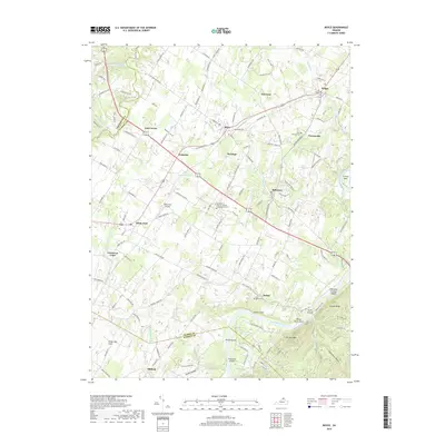
2019 Map of Boyce
USGS Topo · Published 2019About this map
Boyce and the surrounding agricultural landscapes of Clarke and Warren Counties are defined by their deep ties to Virginia's colonial and academic heritage. The area is home to the University of Virginia - Blandy Experimental Farm, a significant research arboretum located near the historic community of Millwood. The geography is anchored by the winding Shenandoah River in the south, where distinctive river features like Hardin Island, Treasure Island, and the curiously named Robinson Crusoe Island break the water's path near Swift Shoals.
Find a feature on this map
149 named features on this map. Tap any name to fly to it.
Don’t see what you’re looking for? This feature index may not catch every label — zoom into the map to look around manually.
Map Details
Editions of this 2019 Boyce Map
This is the sole edition of this map. No revisions or reprints were ever made.
Other maps of this area

1884 · Harpers Ferry
USGS Topo · 1:125,000

1891 · Harpers Ferry
USGS Topo · 1:125,000

1893 · Luray
USGS Topo · 1:125,000

1893 · Harpers Ferry
USGS Topo · 1:125,000

1894 · Warrenton
USGS Topo · 1:125,000

1894 · Winchester
USGS Topo · 1:125,000

1905 · Luray
USGS Topo · 1:125,000

1916 · Berryville
USGS Topo · 1:62,500

1938 · Winchester
USGS Topo · 1:48,000

1939 · Front Royal
USGS Topo · 1:48,000