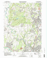
1995 Map of Boyertown
USGS Topo · Published 1996About this map
Pine Forge and the surrounding industrial corridor along the Schuylkill River anchor this mid-1990s landscape at the Berks and Montgomery county line. The map captures a transition from the dense urban grid of Pottstown and the historic borough of Boyertown to the high ridges and valley farms of the South Mountain region. Small crossroads settlements like Shanesville, Woodchoppertown, and Gabelsville suggest the area's long history of rural industry and agriculture.
Find a feature on this map
105 named features on this map. Tap any name to fly to it.
Don’t see what you’re looking for? This feature index may not catch every label — zoom into the map to look around manually.
Map Details
Editions of this 1995 Boyertown Map
This is the sole edition of this map. No revisions or reprints were ever made.
Other maps of this area

1894 · Reading
USGS Topo · 1:62,500

1902 · Boyertown
USGS Topo · 1:62,500

1905 · Honey Brook
USGS Topo · 1:62,500

1906 · Phoenixville
USGS Topo · 1:62,500

1907 · Honeybrook
USGS Topo · 1:62,500
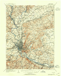
1913 · Reading
USGS Topo · 1:62,500
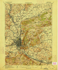
1915 · Reading
USGS Topo · 1:62,500

1941 · Honeybrook
USGS Topo · 1:62,500

1943 · Manatawny
USGS Topo · 1:31,680
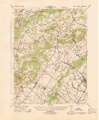
1943 · East Greenville
USGS Topo · 1:31,680
Featured Places
- Pottstown, PA
- Colebrookdale, Douglass Township
- Boyertown, PA
- West Pottsgrove, PA
- Amity Gardens, Amity Township