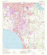
1947 Map of Bradenton
USGS Topo · Published 1947About this map
Bradenton sits at the confluence of the Manatee River and Wares Cr, serving as a focal point for the region's development during the immediate post-war era. The landscape is a transition from the urban grid of the city to the coastal developments of Whitfield Estates and Balentine Manor along Sarasota Bay. A significant military presence is evident at the Sarasota US Army Air Base, while the cultural footprint of the region is anchored by the John and Mable Ringling Museum of Art near the Sarasota County line.
Find a feature on this map
55 named features on this map. Tap any name to fly to it.
Don’t see what you’re looking for? This feature index may not catch every label — zoom into the map to look around manually.
Map Details
Editions of this 1947 Bradenton Map
This is the sole edition of this map. No revisions or reprints were ever made.
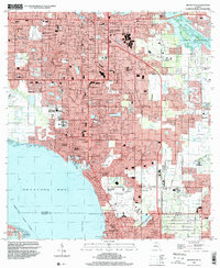
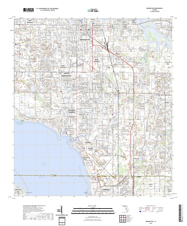
Historical Maps of Bradenton Through Time
4 maps found