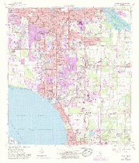
1964 Map of Bradenton
USGS Topo · Published 1987About this map
Bradenton serves as the focal point for this mid-1960s coastal survey, revealing a landscape defined by significant postwar residential growth and institutional expansion. The map documents the development of the shoreline along Sarasota Bay, featuring early planned communities and mobile home developments like Trailer Estates and Bayshore Gardens. To the north, the historic Braden Castle area sits at the confluence of the Manatee River and Braden River, while the southern reaches show the boundary between Manatee and Sarasota counties near the Sarasota-Bradenton Airport.
Find a feature on this map
59 named features on this map. Tap any name to fly to it.
Don’t see what you’re looking for? This feature index may not catch every label — zoom into the map to look around manually.
Map Details
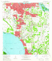
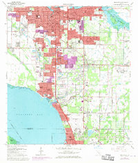
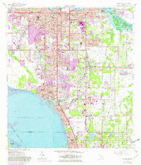
Editions of this 1964 Bradenton Map
4 editions found
Other maps of this area

1921 · Fort De Soto
USGS Topo · 1:62,500

1944 · Sarasota
USGS Topo · 1:31,680

1944 · Anna Maria
USGS Topo · 1:31,680

1944 · Lorraine
USGS Topo · 1:31,680

1944 · Ellenton
USGS Topo · 1:31,680

1944 · Parish
USGS Topo · 1:31,680

1944 · Bradenton Beach
USGS Topo · 1:31,680

1947 · Bradenton
USGS Topo · 1:24,000

1947 · Bee Ridge
USGS Topo · 1:24,000

1956 · Tampa
USGS Topo · 1:250,000