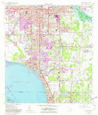
1964 Map of Bradenton
USGS Topo · Published 1982About this map
Bradenton serves as the focal point of this coastal survey, where the Manatee River meets the northern reaches of Sarasota Bay. The landscape reveals a mid-century shift from smaller settlements to organized suburban developments such as Bayshore Gardens and Whitfield Estates. Civic and educational growth is evident in the presence of Manatee Jr College, New College, and the sprawling Sarasota-Bradenton Airport complex. Along the waterfront, older landmarks like Braden Castle contrast with newer amenities like the Sarasota Bay Country Club. The Seaboard Coast Line railroad cuts through the eastern districts near Samoset and Oneco, supporting a regional transport network that includes industrial sites like the Filtration Plant and various sewage disposal facilities near the bay shore.
Find a feature on this map
66 named features on this map. Tap any name to fly to it.
Don’t see what you’re looking for? This feature index may not catch every label — zoom into the map to look around manually.
Map Details
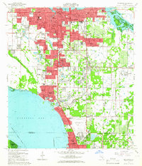
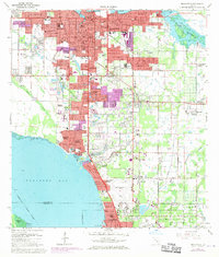
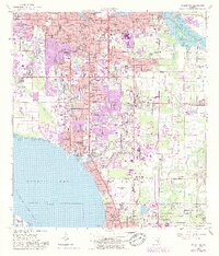
Editions of this 1964 Bradenton Map
4 editions found
Other maps of this area

1921 · Fort De Soto
USGS Topo · 1:62,500

1944 · Sarasota
USGS Topo · 1:31,680

1944 · Anna Maria
USGS Topo · 1:31,680

1944 · Lorraine
USGS Topo · 1:31,680

1944 · Ellenton
USGS Topo · 1:31,680

1944 · Parish
USGS Topo · 1:31,680

1944 · Bradenton Beach
USGS Topo · 1:31,680

1947 · Bradenton
USGS Topo · 1:24,000

1947 · Bee Ridge
USGS Topo · 1:24,000

1956 · Tampa
USGS Topo · 1:250,000