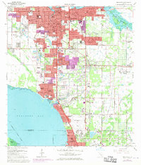
1964 Map of Bradenton
USGS Topo · Published 1970About this map
Bradenton and its surrounding coastal suburbs are documented here during a period of significant mid-century expansion along Sarasota Bay. The landscape transition is evident in the density of residential developments like Whitfield Estates and Bayshore Gardens, contrasted with the managed drainage of the Cedar Hammock Drainage Canal. Key educational and cultural institutions anchor the region, including Manatee Jr College and the Ringling Museum of Art near the Sarasota corporate boundary. Transportation networks define the era, with the Seaboard Coast Line railroad threading through industrial and residential zones. Notable landmarks range from the historic Braden Castle at the mouth of the Braden River to the Sarasota Bradenton Airport and the Bradenton Speedway, reflecting a community balancing heritage with modern recreation and infrastructure.
Find a feature on this map
103 named features on this map. Tap any name to fly to it.
Don’t see what you’re looking for? This feature index may not catch every label — zoom into the map to look around manually.
Map Details
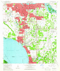
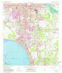
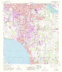
Editions of this 1964 Bradenton Map
4 editions found
Other maps of this area

1921 · Fort De Soto
USGS Topo · 1:62,500

1944 · Sarasota
USGS Topo · 1:31,680

1944 · Anna Maria
USGS Topo · 1:31,680

1944 · Lorraine
USGS Topo · 1:31,680

1944 · Ellenton
USGS Topo · 1:31,680

1944 · Parish
USGS Topo · 1:31,680

1944 · Bradenton Beach
USGS Topo · 1:31,680

1947 · Bradenton
USGS Topo · 1:24,000

1947 · Bee Ridge
USGS Topo · 1:24,000

1956 · Tampa
USGS Topo · 1:250,000