2021 Map of Brainard
USGS Topo · Published 2021About this map
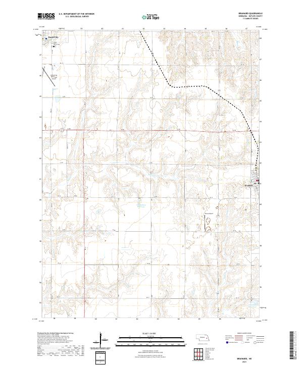
Brainard sits at the eastern edge of this agricultural landscape in Butler County, where a grid of section roads defines the rural economy. To the northwest, the corner of David City appears, adjacent to Saint Marys Cem and the David City Municipal Airport. The terrain is characterized by the branching drainages of Kezan Cr and Plum Cr, which carve gentle draws into the surrounding farmland. These watercourses are vital landmarks in a region largely dedicated to large-scale cultivation. Specialized local infrastructure is evident through features like the Stava Airport and the Vandenburg Reservoir, reflecting the intersection of private aviation and water management on the Great Plains. The map's detailed road network, including Road N and Road S, provides a precise framework for locating family homesteads and modern property boundaries.
Find a feature on this map
43 named features on this map. Tap any name to fly to it.
Don’t see what you’re looking for? This feature index may not catch every label — zoom into the map to look around manually.
Map Details
Editions of this 2021 Brainard Map
This is the sole edition of this map. No revisions or reprints were ever made.
