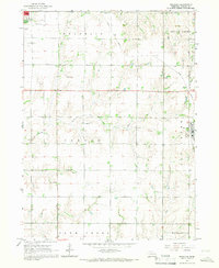
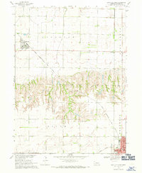
1965 Map of Brainard
USGS Topo · Published 1967About this map
Brainard stands at the intersection of rural agriculture and rail transport in this mid-1960s survey of Butler County. The Union Pacific line cuts diagonally through the northern townships, while an Old RR Grade hints at earlier transportation corridors that once served this prairie landscape. The area is defined by its organized township structure, including Franklin, Skull Creek, and Center, where small community hubs like St Francis Ch and local schools served the surrounding farmsteads.
Find a feature on this map
20 named features on this map. Tap any name to fly to it.
Don’t see what you’re looking for? This feature index may not catch every label — zoom into the map to look around manually.
Map Details
Editions of this 1965 Brainard Map
This is the sole edition of this map. No revisions or reprints were ever made.
Other maps of this area

1899 · Wahoo
USGS Topo · 1:125,000

1899 · David City
USGS Topo · 1:125,000

1955 · Fremont
USGS Topo · 1:250,000

1957 · Fremont
USGS Topo · 1:250,000

1958 · Fremont
USGS Topo · 1:250,000
1965 · Garrison
USGS Topo · 1:24,000
1966 · Dwight
USGS Topo · 1:24,000
1966 · Ulysses
USGS Topo · 1:24,000

1968 · Bruno
USGS Topo · 1:24,000
1968 · David City West
USGS Topo · 1:24,000