Loading...
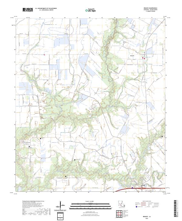
Loading map...2024 Map of Branch
USGS Topo · Published 2024About this map
Branch and the northern reaches of Rayne define this section of Acadia Parish, where a dense network of country roads connects family homesteads and rural landmarks. The landscape is deeply carved by water, with Bayou Wikoff and Coulee Duralde winding through the southern half of the map, while several named gullies like Bideman Gully and Prather Gully drain the agricultural lands to the north.
Find a feature on this map
78 named features on this map. Tap any name to fly to it.
Don’t see what you’re looking for? This feature index may not catch every label — zoom into the map to look around manually.
Map Details
Date Portrayed2024
Date Published2024
PublisherU.S. Geological Survey
Map TypeTopographic
Scale1:24000
Physical Dimensions24 x 29 inches
Editions of this 2024 Branch Map
This is the sole edition of this map. No revisions or reprints were ever made.
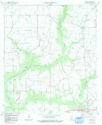
Historical Maps of Branch Through Time
4 maps found


Featured Locations
Source Details
SourceU.S. Geological Survey
CopyrightPublic Domain