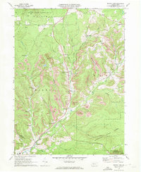
1970 Map of Brandy Camp
USGS Topo · Published 1972About this map
The heavy industrial footprint of Pennsylvania's coal and timber country defines this landscape in the early 1970s. Brandy Camp and Brockport serve as the primary hubs in a region deeply shaped by the Erie-Lackawanna railroad and an extensive network of extractive operations. Numerous Strip Mines and several Gas Wells are scattered across the terrain, indicating the intense resource management of the era.
Find a feature on this map
44 named features on this map. Tap any name to fly to it.
Don’t see what you’re looking for? This feature index may not catch every label — zoom into the map to look around manually.
Map Details
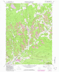
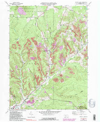
Editions of this 1970 Brandy Camp Map
3 editions found
Other maps of this area

1922 · Du Bois
USGS Topo · 1:62,500

1924 · Du Bois
USGS Topo · 1:62,500

1929 · Penfield
USGS Topo · 1:62,500

1932 · Penfield
USGS Topo · 1:62,500

1940 · Hallton
USGS Topo · 1:48,000

1941 · Ridgway
USGS Topo · 1:62,500

1943 · Hallton
USGS Topo · 1:62,500

1944 · Du Bois
USGS Topo · 1:62,500

1944 · Ridgway
USGS Topo · 1:62,500

1957 · Warren
USGS Topo · 1:250,000
Featured Places
- Drummond, Horton Township
- Snyder Township, PA
- Fox Township, PA
- Ridgway Township, PA
- Kylers Corners, Fox Township