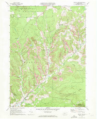
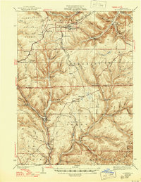
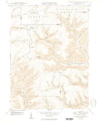
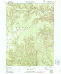
1970 Map of Brandy Camp
USGS Topo · Published 1972This historical map portrays the area of Brandy Camp in 1970, primarily covering Elk County as well as portions of Jefferson County and Clearfield County. Featuring a scale of 1:24000, this map provides a highly detailed snapshot of the terrain, roads, buildings, counties, and historical landmarks in the Brandy Camp region at the time. Published in 1972, it is one of 3 known editions of this map due to revisions or reprints.
Find a feature on this map
44 named features on this map. Tap any name to fly to it.
Don’t see what you’re looking for? This feature index may not catch every label — zoom into the map to look around manually.
Map Details
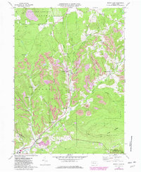
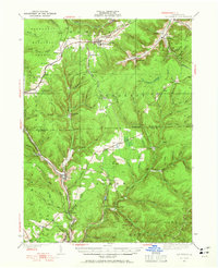
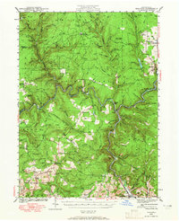
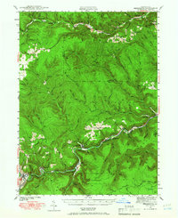
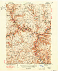
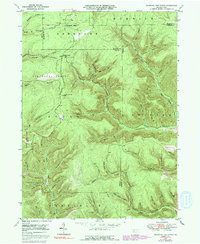
Editions of this 1970 Brandy Camp Map
3 editions found
Historical Maps of Elbon Through Time
17 maps found
1935 Mt. Jewett
Elk County, PA
1940 Hallton
Elk County, PA
1940 Mt. Jewett
Elk County, PA
1941 Benezette
Elk County, PA

1943 Benezette
Elk County, PA
1943 Hallton
Elk County, PA
1948 Wildwood Fire Tower
Elk County, PA
1950 Wildwood Fire Tower
Elk County, PA
1966 Russell City
Elk County, PA
1969 Dents Run
Elk County, PA

1969 Glen Hazel
Elk County, PA
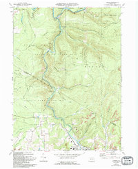
1969 Hallton
Elk County, PA

1969 Portland Mills
Elk County, PA
1969 Rathbun
Elk County, PA
1969 Saint Marys
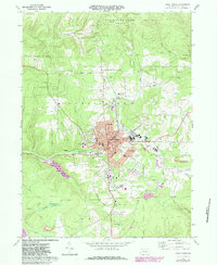
Elk County, PA
1970 Brandy Camp
Elk County, PA
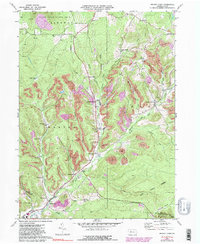
1970 Carman
Elk County, PA
Featured Locations
- Snyder Township, PA
- Fox Township, PA
- Ridgway Township, PA
- Drummond, Horton Township
- Kylers Corners, Fox Township