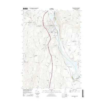
2015 Map of Brattleboro
USGS Topo · Published 2015About this map
The Connecticut River serves as the prominent natural boundary between Vermont and New Hampshire in this 2015 survey, anchoring a region defined by its narrow valleys and significant cultural heritage. Brattleboro and West Brattleboro dominate the northern landscape, where the confluence of Whetstone Brook and the West River shaped early settlement patterns. This map is particularly notable for its dense concentration of historical burial sites, including the Meetinghouse Hill Cem, Saint Michaels Cem, and the specialized Brattleboro Area Jewish Cem. Local landmarks like the Creamery Covered Bridge near England Dr highlight the area's preserved architectural history, while the southern reaches near Vernon show the river's path around Stebbins Island. The terrain rises sharply to the east at Wantastiquet Mtn and Mine Ledge, overlooking the river corridor that has long served as a vital transportation and industrial artery for New England.
Find a feature on this map
158 named features on this map. Tap any name to fly to it.
Don’t see what you’re looking for? This feature index may not catch every label — zoom into the map to look around manually.
Map Details
Editions of this 2015 Brattleboro Map
This is the sole edition of this map. No revisions or reprints were ever made.
Other maps of this area

1887 · Warwick
USGS Topo · 1:62,500

1889 · Warwick
USGS Topo · 1:62,500

1890 · Greenfield
USGS Topo · 1:62,500

1891 · Brattleboro
USGS Topo · 1:62,500

1893 · Brattleboro
USGS Topo · 1:62,500

1894 · Greenfield
USGS Topo · 1:62,500

1894 · Warwick
USGS Topo · 1:62,500

1898 · Keene
USGS Topo · 1:62,500

1932 · Brattleboro
USGS Topo · 1:48,000

1932 · Warwick
USGS Topo · 1:48,000