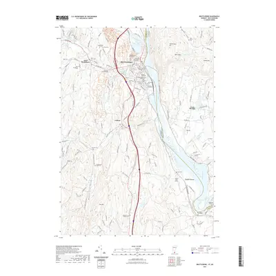
2021 Map of Brattleboro
USGS Topo · Published 2021About this map
Brattleboro serves as the focal point for this borderland geography where the Connecticut River divides Vermont and New Hampshire. The town’s historical infrastructure is densely layered, featuring the Windham County Court Civil Division and a notable concentration of burial grounds such as the Brattleboro Retreat Cem and the nearby Prospect Hill Cem, which includes the designated Soldiers Lot. The landscape is defined by its water crossings and valley topography, illustrated by the Main Street Bridge over the Whetstone Brook and the Creamery Covered Bridge to the west.
Find a feature on this map
61 named features on this map. Tap any name to fly to it.
Don’t see what you’re looking for? This feature index may not catch every label — zoom into the map to look around manually.
Map Details
Editions of this 2021 Brattleboro Map
This is the sole edition of this map. No revisions or reprints were ever made.
Other maps of this area

1887 · Warwick
USGS Topo · 1:62,500

1889 · Warwick
USGS Topo · 1:62,500

1890 · Greenfield
USGS Topo · 1:62,500

1891 · Brattleboro
USGS Topo · 1:62,500

1893 · Brattleboro
USGS Topo · 1:62,500

1894 · Greenfield
USGS Topo · 1:62,500

1894 · Warwick
USGS Topo · 1:62,500

1898 · Keene
USGS Topo · 1:62,500

1932 · Brattleboro
USGS Topo · 1:48,000

1932 · Warwick
USGS Topo · 1:48,000