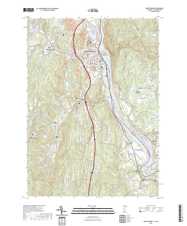
2024 Map of Brattleboro
USGS Topo · Published 2024About this map
Brattleboro sits at the confluence of the West River and the Connecticut River, serving as a historic nexus between Vermont and New Hampshire. The landscape is defined by its deep burial records and institutional presence, including the Windham County Court Criminal Division and the Marlboro College Center for Graduate and Professional Studies. Genealogists will find an exceptional density of cemeteries throughout the river valley and surrounding uplands, from the Meetinghouse Hill Cem and Brattleboro Area Jewish Cem to the specialized Prospect Hill Cem Soldiers Lot.
Find a feature on this map
65 named features on this map. Tap any name to fly to it.
Don’t see what you’re looking for? This feature index may not catch every label — zoom into the map to look around manually.
Map Details
Editions of this 2024 Brattleboro Map
This is the sole edition of this map. No revisions or reprints were ever made.
Other maps of this area

1887 · Warwick
USGS Topo · 1:62,500

1889 · Warwick
USGS Topo · 1:62,500

1890 · Greenfield
USGS Topo · 1:62,500

1891 · Brattleboro
USGS Topo · 1:62,500

1893 · Brattleboro
USGS Topo · 1:62,500

1894 · Greenfield
USGS Topo · 1:62,500

1894 · Warwick
USGS Topo · 1:62,500

1898 · Keene
USGS Topo · 1:62,500

1932 · Brattleboro
USGS Topo · 1:48,000

1932 · Warwick
USGS Topo · 1:48,000