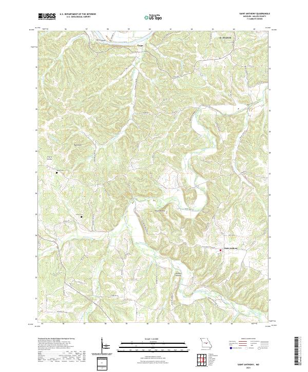
2021 Map of Brays
USGS Topo · Published 2021About this map
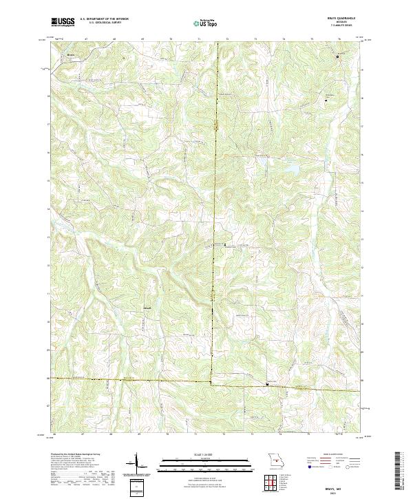
The settlement of Atwell and the smaller enclave of Brays serve as the primary landmarks in this rural corridor of central Missouri. Located at the intersection of Miller Co and Maries Co, the landscape is defined by the winding paths of the Little Maries River and Little Tavern Cr. The area maintains a traditional agricultural and rural character, with scattered family-named cemeteries such as Freedom Cem, Seaton Cem, Washington Cem, and Rose Cem providing critical data points for genealogists researching the region's heritage. The terrain is deeply carved by numerous drainages, including Atwell Cr, Kenser Cr, and Greasy Cr, which flow toward the larger river systems. Notable local infrastructure is captured through features like Joe Hanauer Lake and a network of secondary routes including Brays Mill Rd and State Hwy TT.
Find a feature on this map
68 named features on this map. Tap any name to fly to it.
Don’t see what you’re looking for? This feature index may not catch every label — zoom into the map to look around manually.
Map Details
Editions of this 2021 Brays Map
This is the sole edition of this map. No revisions or reprints were ever made.
Historical Maps of Traderight Through Time
6 maps found