
1952 Map of Brazoria
USGS Topo · Published 1953About this map
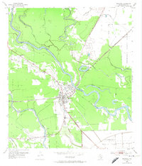
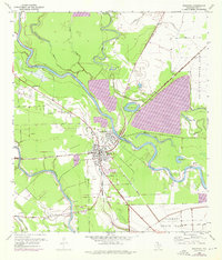
The Brazos River and San Bernard River dominate this coastal Texas landscape in the early 1950s, defining a region where water and rail dictated growth. The transition from Old Brazoria to the modern settlement of Brazoria is clearly visible, with the Missouri Pacific railroad corridor serving as the new center of local commerce. This survey captures a moment when the area's agricultural and institutional character was firmly established by large tracts like the Retrieve State Farm and Clemens State Farm.
Find a feature on this map
25 named features on this map. Tap any name to fly to it.
Don’t see what you’re looking for? This feature index may not catch every label — zoom into the map to look around manually.
Map Details
Editions of this 1952 Brazoria Map
Other maps of this area

1943 · Jones Creek
USGS Topo · 1:31,680

1943 · Angleton
USGS Topo · 1:24,000

1943 · Snipe
USGS Topo · 1:31,680

1950 · Houston
USGS Topo · 1:250,000

1951 · Bay City
USGS Topo · 1:250,000

1952 · West Columbia
USGS Topo · 1:24,000

1952 · Sweeny
USGS Topo · 1:24,000

1952 · Cedar Lane NE
USGS Topo · 1:24,000

1952 · East Columbia
USGS Topo · 1:24,000

1952 · Cedar Lane
USGS Topo · 1:24,000