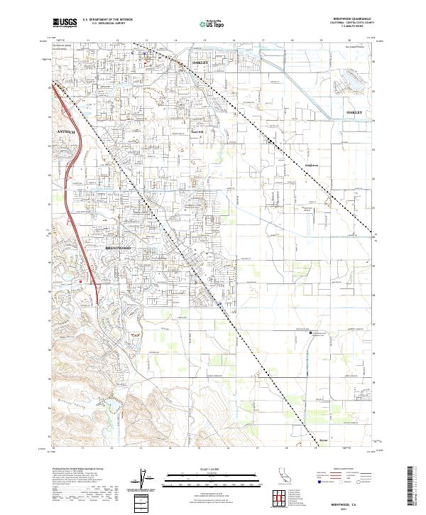
2021 Map of Brentwood
USGS Topo · Published 2021About this map
Brentwood and Oakley serve as the primary hubs in this detailed survey of eastern Contra Costa County, where the suburban expansion of the Central Valley meets an intricate network of water management. The landscape is defined by the engineered paths of the Mokelumne Aqueduct and the Contra Costa Canal, which cut through the Sacramento Valley and San Joaquin Valley floor. Local civic life is anchored by numerous educational institutions such as Liberty High Sch and the Los Medanos College Brentwood Center. To the east, the unincorporated community of Knightsen and the small Funny Farm Airport illustrate the transition toward more rural, agricultural land. The map also documents vital community landmarks like the Byron Brentwood Knightsen Cem and the Marsh Creek Regional Trl, reflecting the area's blend of modern residential development and preserved natural corridors along Marsh Creek.
Find a feature on this map
205 named features on this map. Tap any name to fly to it.
Don’t see what you’re looking for? This feature index may not catch every label — zoom into the map to look around manually.
Map Details
Editions of this 2021 Brentwood Map
This is the sole edition of this map. No revisions or reprints were ever made.
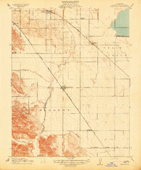
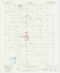
Historical Maps of Antioch Through Time
4 maps found