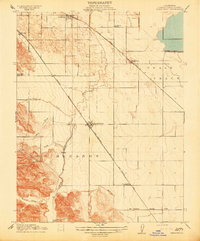
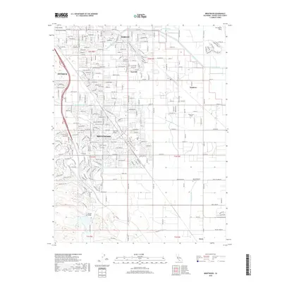
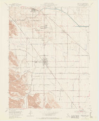
1954 Map of Brentwood
USGS Topo · Published 1970About this map
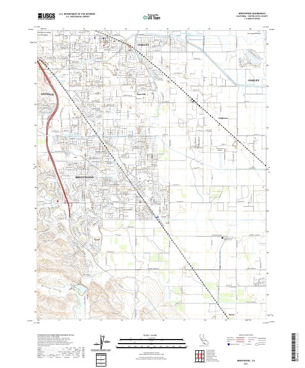
The agricultural heart of eastern Contra Costa County comes into focus through this mid-century survey, centered on the growing town of Brentwood. The landscape is a complex network of water management and transportation, featuring the Mokelumne Aqueduct and the Contra Costa Canal cutting across the San Joaquin Valley floor. Small settlements and rural hubs like Oakley, Knightsen, and Byron are linked by the Southern Pacific and Atchison Topeka and Santa Fe railroads, reflecting the region's reliance on rail for moving produce. To the south, the John Marsh Historical Marker near Marsh Creek Reservoir anchors the map in California's early pioneer history. Educational landmarks like Liberty Union HS and the Lone Tree Sch serve as community focal points for the surrounding orchards and farms of Lone Tree Valley.
Find a feature on this map
50 named features on this map. Tap any name to fly to it.
Don’t see what you’re looking for? This feature index may not catch every label — zoom into the map to look around manually.
Map Details
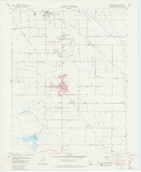
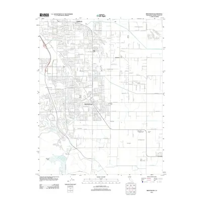
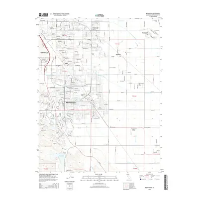
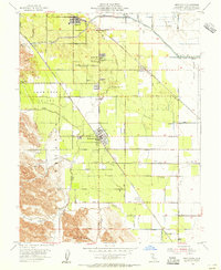
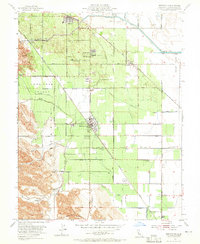
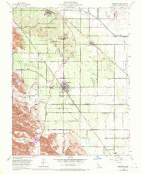
Editions of this 1954 Brentwood Map
5 editions found
Historical Maps of Antioch Through Time
7 maps found