
1910 Map of Bouldin
USGS Topo · Published 1910About this map
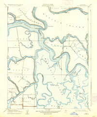
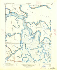
The Sacramento-San Joaquin Delta is rendered in intricate detail during the 1908 survey, revealing a landscape defined by reclaimed islands and a complex network of sloughs. Extensive tracts like Mandeville Island, Venice Island, and Webb Tract dominate the terrain, separated by narrow channels such as Potato Slough and Sevenmile Slough. This survey captures the region's agricultural and industrial infrastructure just before the heavy modernization of the 20th century, noting features like the Old Cannery on the South Fork Mokelumne River and a Pumping Plant on Twitchell Island. Local commerce relies on river access, evidenced by Central Landing and Blakes Landing, which served as critical transit points for goods and people across the San Joaquin River. The map also preserves the specific hydrography of the era, including curious names like Big Brother Slough and Little Brother Slough.
Find a feature on this map
53 named features on this map. Tap any name to fly to it.
Don’t see what you’re looking for? This feature index may not catch every label — zoom into the map to look around manually.
Map Details
Editions of this 1910 Bouldin Map
3 editions found
Other maps of this area

1894 · Lodi
USGS Topo · 1:125,000

1910 · New Hope
USGS Topo · 1:31,680

1910 · Rio Vista
USGS Topo · 1:31,680

1910 · Jersey
USGS Topo · 1:31,680

1910 · Headreach
USGS Topo · 1:31,680

1910 · Isleton
USGS Topo · 1:31,680

1913 · Woodward Island
USGS Topo · 1:31,680

1913 · Holt
USGS Topo · 1:31,680

1914 · Brentwood
USGS Topo · 1:31,680

1916 · Byron
USGS Topo · 1:62,500