
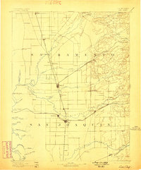
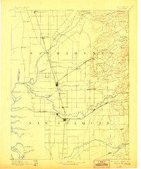
1894 Map of Lodi
USGS Topo · Published 1894About this map
The Central Pacific Railroad and the Southern Pacific Railroad anchor the development of the northern Central Valley in the late nineteenth century. These rail corridors define a landscape transitioning from riparian wetlands to organized agricultural settlements, with Lodi and Galt serving as primary transit hubs between the Sacramento and San Joaquin county lines. Along the Mokelumne River, established communities like Woodbridge and Lockeford reflect the early river-based economy, while the presence of the San Joaquin and Sierra Nevada Railroad indicates the expanding reach of inland trade.
Find a feature on this map
62 named features on this map. Tap any name to fly to it.
Don’t see what you’re looking for? This feature index may not catch every label — zoom into the map to look around manually.
Map Details
Editions of this 1894 Lodi Map
3 editions found
Other maps of this area

1889 · Jackson
USGS Topo · 1:125,000

1891 · Sacramento
USGS Topo · 1:125,000

1891 · Placerville
USGS Topo · 1:125,000

1892 · Jackson
USGS Topo · 1:125,000

1892 · Sacramento
USGS Topo · 1:125,000

1892 · Placerville
USGS Topo · 1:125,000

1893 · Placerville
USGS Topo · 1:125,000

1893 · Sacramento
USGS Topo · 1:125,000

1897 · Jackson
USGS Topo · 1:125,000

1902 · Jackson
USGS Topo · 1:125,000