
Loading...
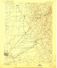
Loading map...1893 Map of Sacramento
USGS Topo · Published 1900About this map
The Sacramento riverfront and the surrounding Central Valley landscape are captured in this late nineteenth-century survey, showcasing a region defined by its rail hubs and agricultural outposts. The Central Pacific Railroad and the C. P. R. R. create a sharp transit corridor through Roseville, Rocklin, and Lincoln, while the historic Placerville Road follows the southern bank of the American River.
Find a feature on this map
103 named features on this map. Tap any name to fly to it.
Don’t see what you’re looking for? This feature index may not catch every label — zoom into the map to look around manually.
Map Details
Date Portrayed1893
Date Published1900
PublisherU.S. Geological Survey
Map TypeTopographic
Scale1:125,000
Physical Dimensions16.6 x 19.9 inches
Editions of this 1893 Sacramento Map
This is the sole edition of this map. No revisions or reprints were ever made.
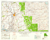
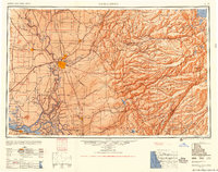
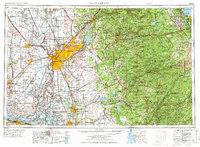
Historical Maps of Sacramento Through Time
8 maps found


Featured Locations
Source Details
SourceU.S. Geological Survey
CopyrightPublic Domain