
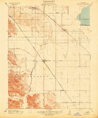
1911 Map of Byron Hot Springs
USGS Topo · Published 1911About this map
The town of Byron and the nearby resort at Byron Hot Springs anchor this 1911 survey of eastern Contra Costa County. Surveyed by Duncan Hannegan and J. L. Lewis under the direction of George Otis Smith and State Engineer Nathaniel Ellery, this advance sheet highlights the transition from the developed railroad corridor to the complex topography of the Canada De Los Vaqueros. The map illustrates early water management along Marsh Creek, which winds through the northwestern corner of the quadrangle. For researchers of early California leisure and land use, this sheet documents the specific layout of the famous hot springs at a time when the mineral waters were a premier destination for those traveling by rail through the San Joaquin Valley.
Find a feature on this map
4 named features on this map. Tap any name to fly to it.
Don’t see what you’re looking for? This feature index may not catch every label — zoom into the map to look around manually.
Map Details
Editions of this 1911 Byron Hot Springs Map
This is the sole edition of this map. No revisions or reprints were ever made.
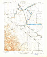
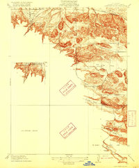
Other maps of this area

1896 · Mt. Diablo
USGS Topo · 1:62,500

1898 · Mt. Diablo
USGS Topo · 1:62,500

1906 · Pleasanton
USGS Topo · 1:62,500

1907 · Tesla
USGS Topo · 1:62,500

1913 · Woodward Island
USGS Topo · 1:31,680
1914 · Brentwood
USGS Topo · 1:31,680
1914 · Bethany
USGS Topo · 1:31,680
1916 · Lone Tree Valley
USGS Topo · 1:31,680
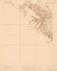
1916 · Byron Hot Springs
USGS Topo · 1:31,680

1916 · Byron
USGS Topo · 1:62,500