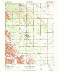
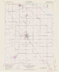
1954 Map of Brentwood
USGS Topo · Published 1970About this map
Brentwood and Oakley anchor this survey of Contra Costa County during a period of transition, where established agricultural valleys meet expanding water and rail infrastructure. The landscape is defined by its sophisticated irrigation network, including the Contra Costa Canal, the Mokelumne Aqueduct, and the Byron-Bethany Irrigation Canal. These systems support the orchards and fields of Lone Tree Valley and Briones Valley. Transportation is dominated by the industrial presence of the Atchison Topeka and Santa Fe Railway and the Southern Pacific, which facilitated the movement of goods from local settlements like Knightsen and Sand Hill. Local heritage is marked by the John Marsh Historical Marker near the Marsh Creek Reservoir, while the Point of Timber Cemetery offers a connection to the area's early families. The map also captures educational centers such as Liberty Union HS and the Lone Tree Sch.
Find a feature on this map
48 named features on this map. Tap any name to fly to it.
Don’t see what you’re looking for? This feature index may not catch every label — zoom into the map to look around manually.
Map Details
Editions of this 1954 Brentwood Map
5 editions found
Other maps of this area

1896 · Mt. Diablo
USGS Topo · 1:62,500

1898 · Mt. Diablo
USGS Topo · 1:62,500

1907 · Antioch
USGS Topo · 1:62,500

1908 · Antioch
USGS Topo · 1:62,500

1910 · Bouldin
USGS Topo · 1:31,680

1910 · Jersey
USGS Topo · 1:31,680

1911 · Byron Hot Springs
USGS Topo · 1:31,680

1913 · Woodward Island
USGS Topo · 1:31,680

1914 · Brentwood
USGS Topo · 1:31,680

1914 · Bethany
USGS Topo · 1:31,680