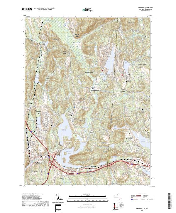
2023 Map of Brewster
USGS Topo · Published 2023About this map
The Bog Brook Reservoir and East Branch Reservoir dominate this landscape on the New York and Connecticut border, reflecting a region deeply defined by its water management systems and transit corridors. The village of Brewster serves as a central hub, where the Metro-North rail line follows the valley floor near the confluence of the East Branch Reservoir and Tonetta Brook. To the east, the map captures the transition into Danbury, Connecticut, showing the residential growth surrounding Ball Pond and Lake Kenosia.
Find a feature on this map
249 named features on this map. Tap any name to fly to it.
Don’t see what you’re looking for? This feature index may not catch every label — zoom into the map to look around manually.
Map Details
Editions of this 2023 Brewster Map
This is the sole edition of this map. No revisions or reprints were ever made.
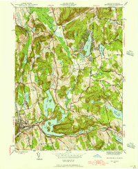
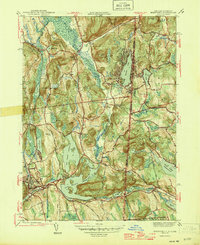
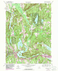
Historical Maps of Taylor Corners Through Time
4 maps found