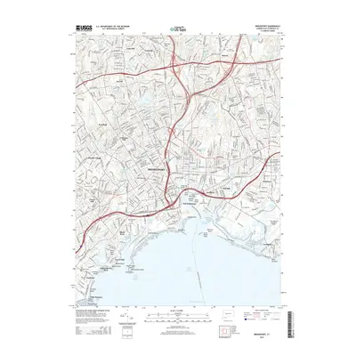
2015 Map of Bridgeport
USGS Topo · Published 2015About this map
The industrialized shoreline of Bridgeport and its neighboring towns of Fairfield, Trumbull, and Stratford are shown in this 2015 study of the Connecticut coast. The map illustrates a densely populated urban corridor where the Pequonnock River and several channels, including Cedar Creek Reach and Yellow Mill Channel, meet the Long Island Sound. This coastal geography is defined by prominent landmarks like Fayerweather Island and Pleasure Beach, alongside modern transportation infrastructure such as the Metro-North railroad and the Bridgeport-Port Jefferson FRY.
Find a feature on this map
96 named features on this map. Tap any name to fly to it.
Don’t see what you’re looking for? This feature index may not catch every label — zoom into the map to look around manually.
Map Details
Editions of this 2015 Bridgeport Map
This is the sole edition of this map. No revisions or reprints were ever made.
Other maps of this area

1889 · Derby
USGS Topo · 1:62,500

1891 · Bridgeport
USGS Topo · 1:62,500

1891 · Derby
USGS Topo · 1:62,500

1892 · Danbury
USGS Topo · 1:62,500

1892 · Norwalk
USGS Topo · 1:62,500

1893 · Bridgeport
USGS Topo · 1:62,500

1893 · Norwalk
USGS Topo · 1:62,500

1893 · Derby
USGS Topo · 1:62,500

1915 · Danbury
USGS Topo · 1:62,500

1920 · Bridgeport
USGS Topo · 1:62,500