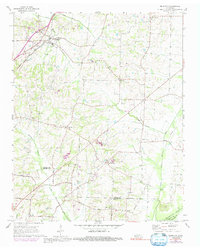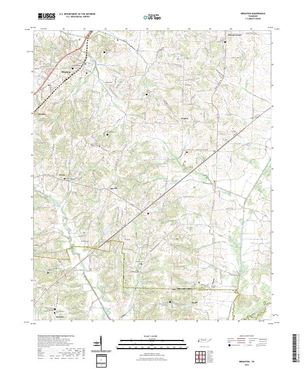
2022 Map of Brighton
USGS Topo · Published 2022About this map
Brighton and the surrounding rural landscape of Tipton and Shelby counties are defined by a network of family-named roads and small community centers. This topography is notably dense with localized burial grounds and churches, such as the Salem Associate Reformed Presbyterian Cem and the Banyan Payne Family Cem, reflecting a deeply rooted settlement history. The terrain is drained by several waterways, including Hatchel Cr and the Indian Cr-Canal, which weave through the agricultural and residential plots north of Mudville.
Find a feature on this map
131 named features on this map. Tap any name to fly to it.
Don’t see what you’re looking for? This feature index may not catch every label — zoom into the map to look around manually.
Map Details
Editions of this 2022 Brighton Map
This is the sole edition of this map. No revisions or reprints were ever made.