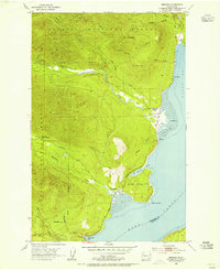
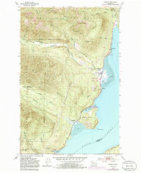
1953 Map of Brinnon
USGS Topo · Published 1955About this map
Brinnon and its surrounding river valleys define this 1950s coastal survey along the western shore of Dabob Bay. The landscape is dominated by the steep, timbered ridges of the Olympic National Forest, where the Dosewallips River and Duckabush River cut deep channels toward Hood Canal. Settlement is concentrated at Brinnon Flats, supported by the Brinnon School and the coastal path of the Olympic Highway. The map captures the infrastructure of forest management during the mid-century, including the Interrorem Guard Station and Corrigenda Guard Station. Away from the river bottoms, the terrain rises sharply to Mt Turner and Green Hill, while the shoreline features distinctive maritime landmarks like Seal Rock and the sheltered waters of Pleasant Harbor. Ancient footpaths such as the Jupiter Trail suggest the area's transition from early timber access to a more established recreational and residential corridor.
Find a feature on this map
33 named features on this map. Tap any name to fly to it.
Don’t see what you’re looking for? This feature index may not catch every label — zoom into the map to look around manually.
Map Details
Editions of this 1953 Brinnon Map
5 editions found
Other maps of this area

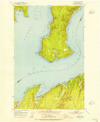
1936 · Point Misery
USGS Topo · 1:62,500

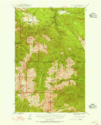
1938 · Mt Constance
USGS Topo · 1:125,000

1940 · Point Misery
USGS Topo · 1:62,500

1940 · Quilcene
USGS Topo · 1:62,500
1946 · Tyler Peak
USGS Topo · 1:62,500

1947 · The Brothers
USGS Topo · 1:62,500

1948 · Tyler Peak
USGS Topo · 1:62,500

1950 · The Brothers
USGS Topo · 1:62,500
1953 · Seabeck
USGS Topo · 1:24,000
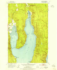
1953 · Quilcene
USGS Topo · 1:24,000