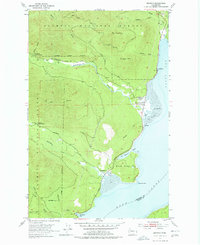
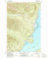
1953 Map of Brinnon
USGS Topo · Published 1978About this map
Brinnon and the surrounding tideflats sit at the meeting point of steep coastal ridges and the waters of Dabob Bay. This mid-century landscape is defined by the drainages of the Dosewallips River and Duckabush River, which carve through the Olympic National Forest to reach the Hood Canal. The settlement pattern centers on the alluvial Flats, where the Brinnon School and the Olympic Highway serve the local community.
Find a feature on this map
33 named features on this map. Tap any name to fly to it.
Don’t see what you’re looking for? This feature index may not catch every label — zoom into the map to look around manually.
Map Details
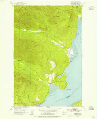
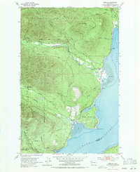
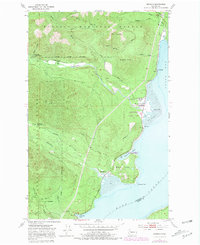
Editions of this 1953 Brinnon Map
5 editions found
Other maps of this area

1936 · Point Misery
USGS Topo · 1:62,500

1938 · Mt Constance
USGS Topo · 1:125,000

1940 · Point Misery
USGS Topo · 1:62,500

1940 · Quilcene
USGS Topo · 1:62,500
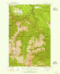
1946 · Tyler Peak
USGS Topo · 1:62,500

1947 · The Brothers
USGS Topo · 1:62,500

1948 · Tyler Peak
USGS Topo · 1:62,500

1950 · The Brothers
USGS Topo · 1:62,500
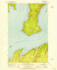
1953 · Seabeck
USGS Topo · 1:24,000
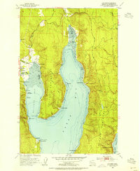
1953 · Quilcene
USGS Topo · 1:24,000