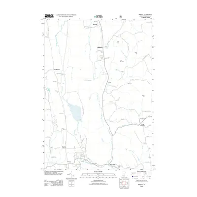
2012 Map of Bristol
USGS Topo · Published 2012About this map
The Hogback Mountains dominate the central landscape of this Vermont survey, creating a natural divide between the Pond Brook valley and the Lewis Cr corridor. These highlands separate the western agricultural plains around East Monkton from the eastern valley settlements of Starksboro and South Starksboro. Genealogists will find a high density of burial grounds documented here, including the South Starksboro Friends Cem and the Mount Saint Joseph Cem, illustrating the diverse denominational history of these rural communities.
Find a feature on this map
94 named features on this map. Tap any name to fly to it.
Don’t see what you’re looking for? This feature index may not catch every label — zoom into the map to look around manually.
Map Details
Editions of this 2012 Bristol Map
This is the sole edition of this map. No revisions or reprints were ever made.
Other maps of this area

1903 · Middlebury
USGS Topo · 1:62,500

1905 · Middlebury
USGS Topo · 1:62,500

1906 · Burlington
USGS Topo · 1:62,500

1919 · Burlington
USGS Topo · 1:62,500

1919 · Lincoln Mountain
USGS Topo · 1:62,500

1920 · Lincoln Mountain
USGS Topo · 1:48,000

1920 · Middlebury
USGS Topo · 1:62,500

1921 · Richmond
USGS Topo · 1:48,000

1921 · Lincoln Mountain
USGS Topo · 1:62,500

1924 · Camels Hump
USGS Topo · 1:62,500