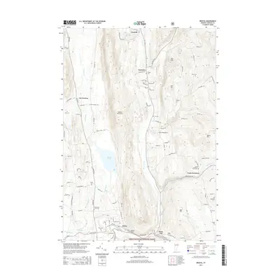
2015 Map of Bristol
USGS Topo · Published 2015About this map
The New Haven River and Baldwin Creek converge near the settlement of Bristol, where the landscape transitions into the steep slopes of the Hogback Mountains and the Green Mountain National Forest. This 2015 record shows a well-preserved collection of rural burial grounds, such as the South Starksboro Friends Cem and the Hallock Cem, which reflect the long-standing family lineages of the Addison County area.
Find a feature on this map
100 named features on this map. Tap any name to fly to it.
Don’t see what you’re looking for? This feature index may not catch every label — zoom into the map to look around manually.
Map Details
Editions of this 2015 Bristol Map
This is the sole edition of this map. No revisions or reprints were ever made.
Other maps of this area

1903 · Middlebury
USGS Topo · 1:62,500

1905 · Middlebury
USGS Topo · 1:62,500

1906 · Burlington
USGS Topo · 1:62,500

1919 · Burlington
USGS Topo · 1:62,500

1919 · Lincoln Mountain
USGS Topo · 1:62,500

1920 · Lincoln Mountain
USGS Topo · 1:48,000

1920 · Middlebury
USGS Topo · 1:62,500

1921 · Richmond
USGS Topo · 1:48,000

1921 · Lincoln Mountain
USGS Topo · 1:62,500

1924 · Camels Hump
USGS Topo · 1:62,500