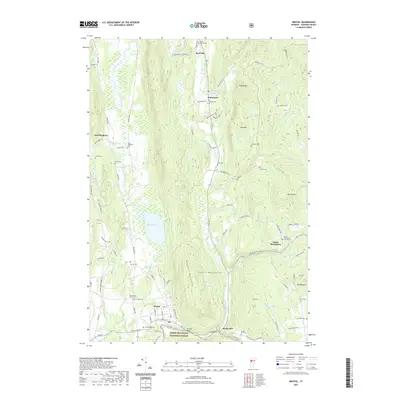
2021 Map of Bristol
USGS Topo · Published 2021About this map
Starksboro and Bristol anchor this study of the northern Green Mountains landscape at the start of the 2020s. The terrain is defined by the sharp transition from the valley lowlands of Lewis Cr and Bristol Pond to the steep rises of the Hogback Mountains and East Mtn. Within the boundaries of the Green Mountain National Forest, the map records a rural network of named cemeteries, including Green Mount Cem, Hallock Cem, and the Village Cem, reflecting generations of local family history. Smaller clusters like East Monkton and South Starksboro remain connected by historic roads such as States Prison Hollow Rd and Ireland Rd, while natural features like Bristol Rock and Baldwin Pond stand as distinctive landmarks in the Addison County wilderness.
Find a feature on this map
99 named features on this map. Tap any name to fly to it.
Don’t see what you’re looking for? This feature index may not catch every label — zoom into the map to look around manually.
Map Details
Editions of this 2021 Bristol Map
This is the sole edition of this map. No revisions or reprints were ever made.
Other maps of this area

1903 · Middlebury
USGS Topo · 1:62,500

1905 · Middlebury
USGS Topo · 1:62,500

1906 · Burlington
USGS Topo · 1:62,500

1919 · Burlington
USGS Topo · 1:62,500

1919 · Lincoln Mountain
USGS Topo · 1:62,500

1920 · Lincoln Mountain
USGS Topo · 1:48,000

1920 · Middlebury
USGS Topo · 1:62,500

1921 · Richmond
USGS Topo · 1:48,000

1921 · Lincoln Mountain
USGS Topo · 1:62,500

1924 · Camels Hump
USGS Topo · 1:62,500