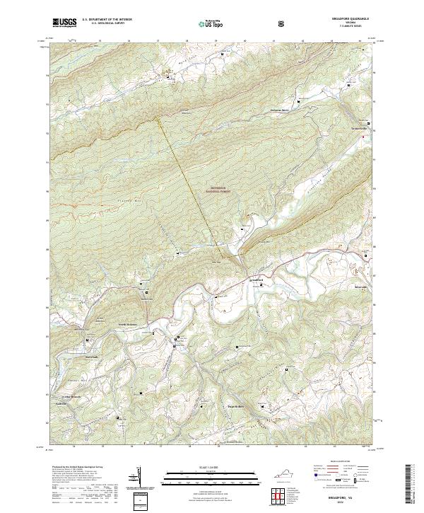
2022 Map of Broadford
USGS Topo · Published 2022About this map
Clinch Mountain and Flattop Mtn dominate this Southwest Virginia landscape, carving out the distinctive valleys of Poor Valley and Freestone Valley. The human geography is centered along the winding course of the North Fork Holston River, where settlements like Broadford and North Holston were established in the narrow fertile strips between the ridges. Much of the high ground is protected within the Jefferson National Forest, preserving the steep terrain of Chestnut Hollow and McCready Gap.
Find a feature on this map
107 named features on this map. Tap any name to fly to it.
Don’t see what you’re looking for? This feature index may not catch every label — zoom into the map to look around manually.
Map Details
Editions of this 2022 Broadford Map
This is the sole edition of this map. No revisions or reprints were ever made.
Historical Maps of Saltville Through Time
16 maps found
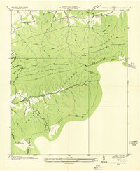
1934 Chatham Hill
Smyth County, VA
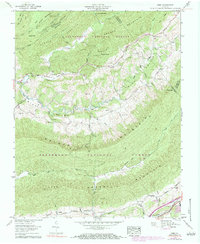
1935 Cedar Springs
Smyth County, VA

1935 Maccrady
Smyth County, VA
1935 Nebo
Smyth County, VA
1935 Whitetop Mountain
Smyth County, VA
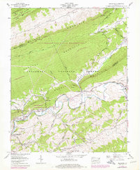
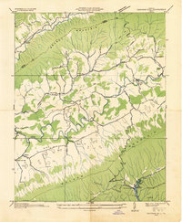
1958 Broadford
Smyth County, VA
1958 Chatham Hill
Smyth County, VA
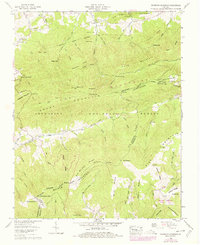
1959 Cedar Springs
Smyth County, VA
1959 Nebo
Smyth County, VA
1959 Whitetop Mountain
Smyth County, VA
2000 Whitetop Mountain
Smyth County, VA
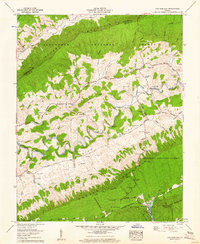
2022 Broadford
Smyth County, VA
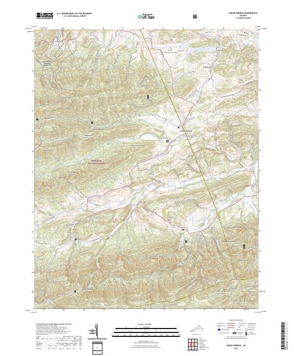
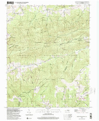
2022 Cedar Springs
Smyth County, VA
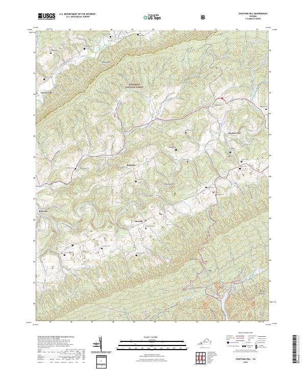
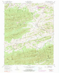
2022 Chatham Hill
Smyth County, VA
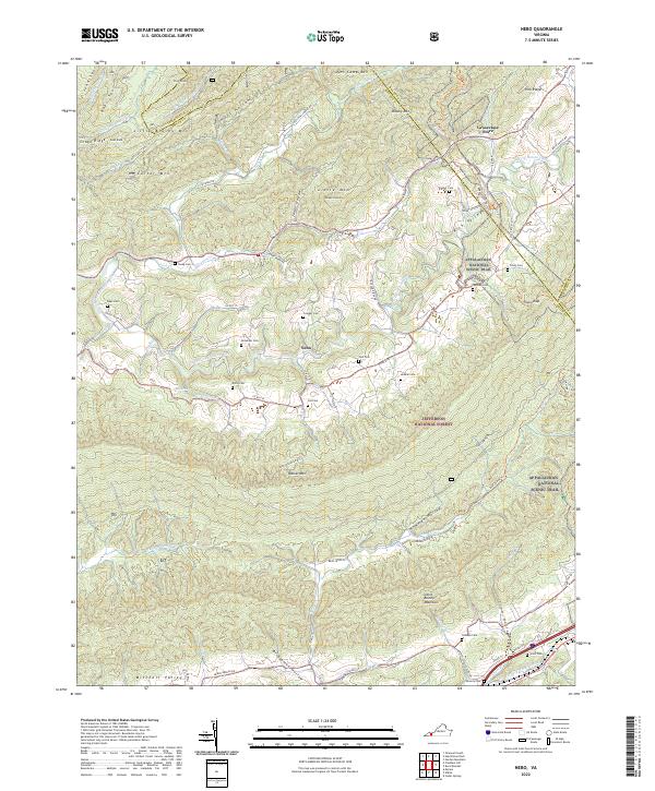
2022 Nebo
Smyth County, VA
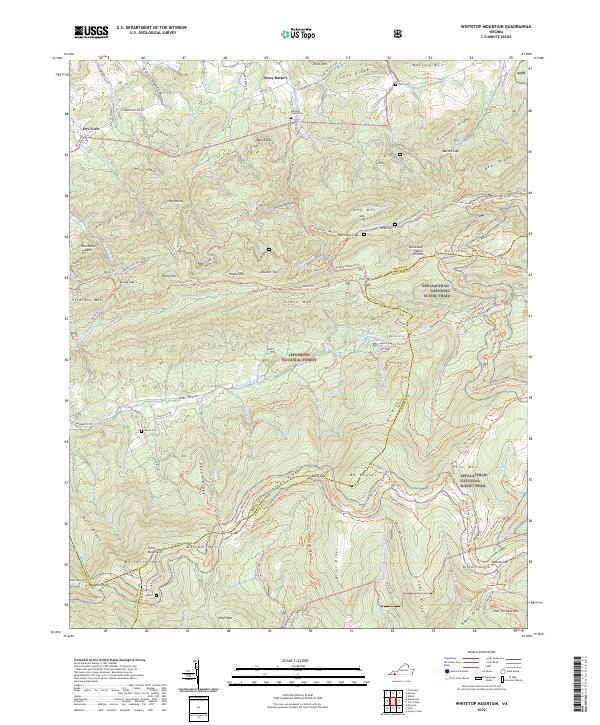
2022 Whitetop Mountain
Smyth County, VA