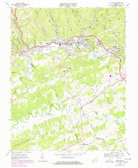
1915 Map of Richlands
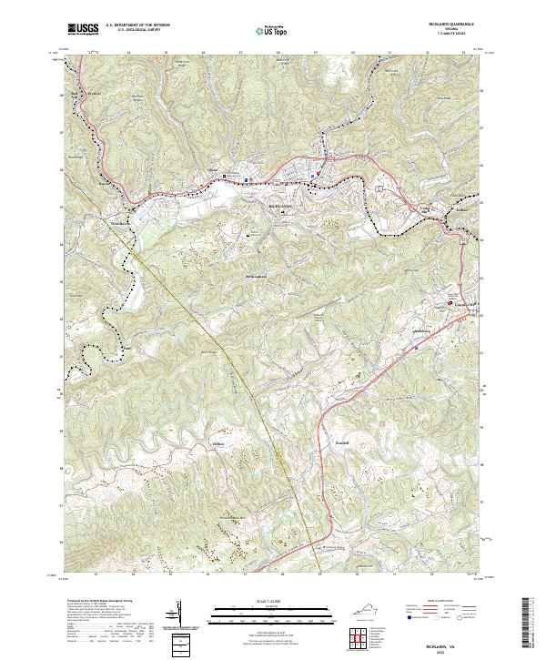
USGS Topo · Published 1915About this map
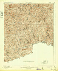
Clinch River valley communities serve as the anchors for this 1914–1915 survey, where the Norfolk and Western railway follows the river's path to connect industrial and residential hubs. The map reveals a landscape defined by sharp elevation changes, particularly around Kent Ridge and the Pistol Gap. Local education is prominently marked through a network of rural schoolhouses, including Hale School, Lane School, and Drill School, which were essential centers for the scattered mountain settlements during this era.
Find a feature on this map
30 named features on this map. Tap any name to fly to it.
Don’t see what you’re looking for? This feature index may not catch every label — zoom into the map to look around manually.
Map Details
Editions of this 1915 Richlands Map
This is the sole edition of this map. No revisions or reprints were ever made.
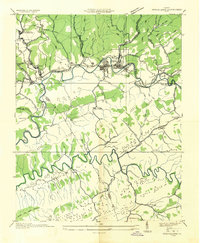
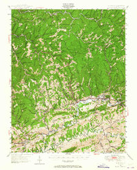
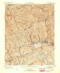
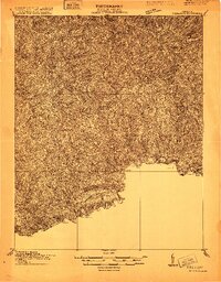
Historical Maps of Richlands Through Time
7 maps found