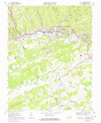
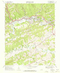
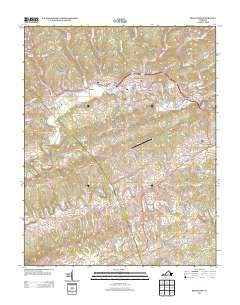
1968 Map of Richlands
USGS Topo · Published 1978About this map
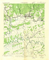
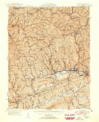
The Clinch River carves through this section of the Appalachian plateau, where the industrial presence of the Norfolk and Western railroad anchors a landscape defined by coal and transit. In the late 1960s, the area from Red Ash and Raven through Richlands and Cedar Bluff shows a dense concentration of Strip Mine operations and Mine Dump sites. These industrial features sit alongside local landmarks like the Cedar Hills Raceway and the Southwest Virginia Community College. To the south, the terrain transitions into the steep elevations of Kents Ridge and House and Barn Mountain, separating the industrial corridor from the winding course of the Little River. The map meticulously records community infrastructure ranging from the Richlands Municipal Airport to numerous country churches like Macedonia Ch and Road Ridge Ch.
Find a feature on this map
66 named features on this map. Tap any name to fly to it.
Don’t see what you’re looking for? This feature index may not catch every label — zoom into the map to look around manually.
Map Details
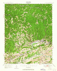
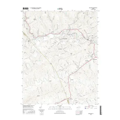
Editions of this 1968 Richlands Map
2 editions found
Historical Maps of Richlands Through Time
11 maps found
1915 Richlands
Tazewell County, VA
1916 Richlands
Tazewell County, VA
1935 Richlands
Tazewell County, VA
1947 Richlands
Tazewell County, VA
1950 Richlands
Tazewell County, VA
1968 Richlands
Tazewell County, VA
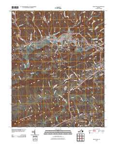
2010 Richlands
Tazewell County, VA
2013 Richlands
Tazewell County, VA
2016 Richlands
Tazewell County, VA
2019 Richlands
Tazewell County, VA
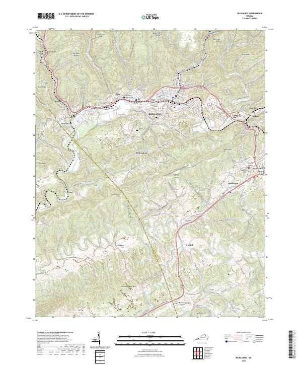
2022 Richlands
Tazewell County, VA