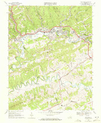
1968 Map of Richlands
USGS Topo · Published 1972About this map
Coal-mining infrastructure and tight valley settlements characterize this portion of the Appalachian landscape in the late 1960s. The Clinch River winds through the center of the sheet, followed closely by the Norfolk and Western railway which services the industrial activity at Red Ash, Raven, and Doran. Evidence of the region’s extractive economy is visible in several locations, including a Strip Mine along Road Ridge and a Mine Dump near the settlement of Zeal.
Find a feature on this map
67 named features on this map. Tap any name to fly to it.
Don’t see what you’re looking for? This feature index may not catch every label — zoom into the map to look around manually.
Map Details
Editions of this 1968 Richlands Map
2 editions found
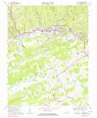
Other maps of this area

1891 · Tazewell
USGS Topo · 1:125,000

1891 · Abingdon
USGS Topo · 1:125,000

1894 · Abingdon
USGS Topo · 1:125,000

1895 · Tazewell
USGS Topo · 1:125,000

1897 · Tazewell
USGS Topo · 1:125,000

1909 · Abingdon
USGS Topo · 1:96,000

1911 · Abingdon
USGS Topo · 1:125,000

1912 · Pounding Mill
USGS Topo · 1:62,500

1915 · Richlands
USGS Topo · 1:48,000

1916 · Pounding Mill
USGS Topo · 1:62,500