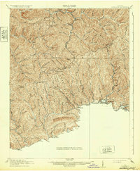
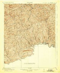
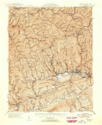
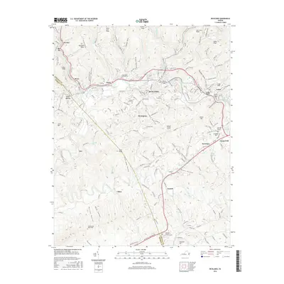
1916 Map of Richlands
USGS Topo · Published 1932About this map
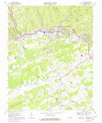
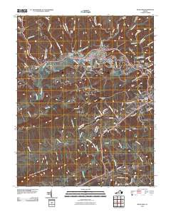
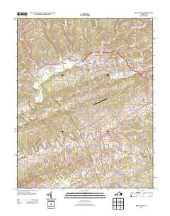
Clinch River drainage and the surrounding ridges of the Appalachian Plateau define this territory at the border of Tazewell, Buchanan, and Russell Counties. The rail-and-river economy is centered on the Norfolk and Western railway, which follows the river valley through hubs like Richlands, Cedar Bluff, and Raven. Away from the valley, the landscape is a network of steep ridges and narrow hollows, including Keen Mountain and Jewell Ridge, where isolation fostered a distribution of localized community centers.
Find a feature on this map
77 named features on this map. Tap any name to fly to it.
Don’t see what you’re looking for? This feature index may not catch every label — zoom into the map to look around manually.
Map Details
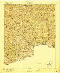
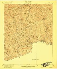
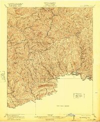
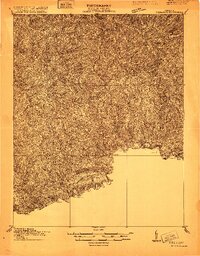
Editions of this 1916 Richlands Map
5 editions found
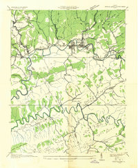
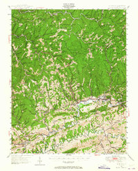
Historical Maps of Richlands Through Time
11 maps found
1915 Richlands
Tazewell County, VA
1916 Richlands
Tazewell County, VA
1935 Richlands
Tazewell County, VA
1947 Richlands
Tazewell County, VA
1950 Richlands
Tazewell County, VA
1968 Richlands
Tazewell County, VA
2010 Richlands
Tazewell County, VA
2013 Richlands
Tazewell County, VA
2016 Richlands
Tazewell County, VA
2019 Richlands
Tazewell County, VA
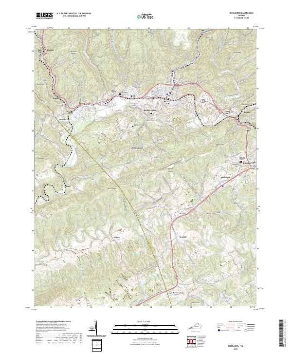
2022 Richlands
Tazewell County, VA