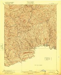
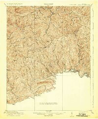
1916 Map of Richlands
USGS Topo · Published 1920About this map
Richlands and Cedar Bluff anchor the southeastern corridor of this 1914–1915 survey, where the Norfolk and Western railway follows the Clinch River valley through the heart of the Appalachian coal country. The landscape is defined by its deep ridges and gaps, including Keen Mountain, Red Root Ridge, and Jewell Ridge, which separate the myriad creek branches that sustained early 20th-century mountain communities.
Find a feature on this map
80 named features on this map. Tap any name to fly to it.
Don’t see what you’re looking for? This feature index may not catch every label — zoom into the map to look around manually.
Map Details
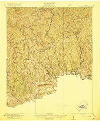
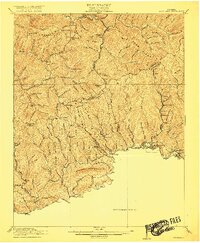
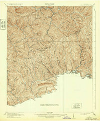
Editions of this 1916 Richlands Map
5 editions found
Other maps of this area

1886 · Grundy
USGS Topo · 1:125,000

1890 · Grundy
USGS Topo · 1:125,000

1891 · Tazewell
USGS Topo · 1:125,000

1891 · Abingdon
USGS Topo · 1:125,000

1892 · Grundy
USGS Topo · 1:125,000

1894 · Abingdon
USGS Topo · 1:125,000

1895 · Tazewell
USGS Topo · 1:125,000

1897 · Tazewell
USGS Topo · 1:125,000

1897 · Bristol
USGS Topo · 1:125,000

1902 · Bristol
USGS Topo · 1:125,000