2023 Map of Brodheadsville
USGS Topo · Published 2023About this map
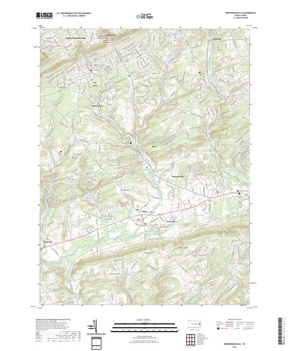
Pohopoco Creek winds through this section of Monroe County, defining a valley where longstanding Pennsylvania settlements like Brodheadsville and Gilbert serve as local hubs. The landscape is characterized by a mix of established residential communities such as Sierra View and Sun Valley, alongside prominent terrain features like Weir Mountain and the southern reaches of the Pocono Mountains. This area maintains a strong connection to its past through several burial grounds, including the Old Brodheadsville Cem and Hillside Memorial Cem.
Find a feature on this map
177 named features on this map. Tap any name to fly to it.
Don’t see what you’re looking for? This feature index may not catch every label — zoom into the map to look around manually.
Map Details
Editions of this 2023 Brodheadsville Map
This is the sole edition of this map. No revisions or reprints were ever made.
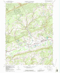
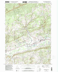
Historical Maps of Jackson Township Through Time
3 maps found
Featured Locations
- Eldred Township, PA
- Chestnuthill Township, PA
- Polk Township, PA
- Kresgeville, Polk Township
- Brodheadsville, Chestnuthill Township