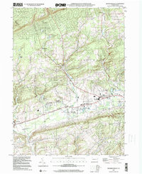
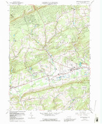
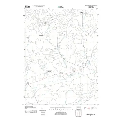
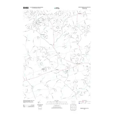
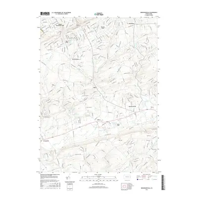
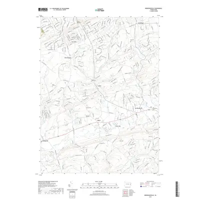
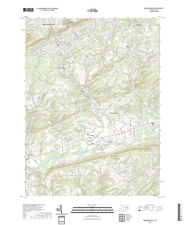
1999 Map of Brodheadsville
USGS Topo · Published 2001About this map
The Pocono Mountains define the northern landscape of this Monroe County region, transitioning into the valleys and ridges of Chestnut Hill. By the late twentieth century, the area shows a shift toward recreational and residential development, anchored by locations like Sun Valley Lake and the Seneca Hunt Camp. The village of Brodheadsville serves as a local hub near the eastern edge, while the winding course of Pohopoco Creek cuts through the southern reaches, passing through Gilbert and toward Kresgeville.
Find a feature on this map
34 named features on this map. Tap any name to fly to it.
Don’t see what you’re looking for? This feature index may not catch every label — zoom into the map to look around manually.
Map Details
Editions of this 1999 Brodheadsville Map
This is the sole edition of this map. No revisions or reprints were ever made.
Historical Maps of Eldred Township Through Time
7 maps found
Featured Locations
- Penn Forest Township, PA
- Eldred Township, PA
- Tunkhannock Township, PA
- Chestnuthill Township, PA
- Brodheadsville, Chestnuthill Township