
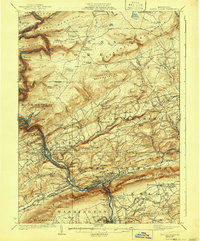
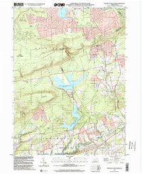
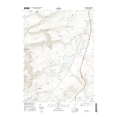
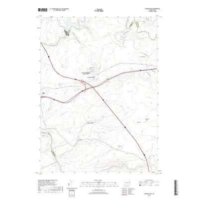
1922 Map of Mauch Chunk
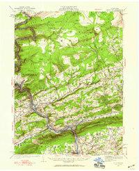
USGS Topo · Published 1952About this map
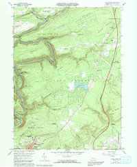
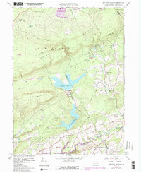
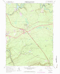
The Lehigh River corridor serves as the industrial and transportation backbone of this region, where the Central Railroad of New Jersey and Lehigh Valley Railroad parallel its winding course. The 1922 topography reveals a landscape defined by sharp elevation shifts, from the deep Lehigh Gap to the heights of Bald Mountain and Pohopoco Mountain. In the valley, the concentrated development of Mauch Chunk, Lehighton, and Palmerton contrasts with the sparse uplands of Penn Forest.
Find a feature on this map
125 named features on this map. Tap any name to fly to it.
Don’t see what you’re looking for? This feature index may not catch every label — zoom into the map to look around manually.
Map Details
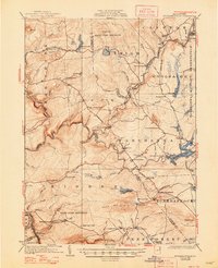
Editions of this 1922 Mauch Chunk Map
2 editions found
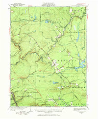
Historical Maps of Palmerton Through Time
29 maps found
1922 Stoddartsville
Carbon County, PA
1924 Mauch Chunk
Carbon County, PA
1924 Stoddartsville
Carbon County, PA

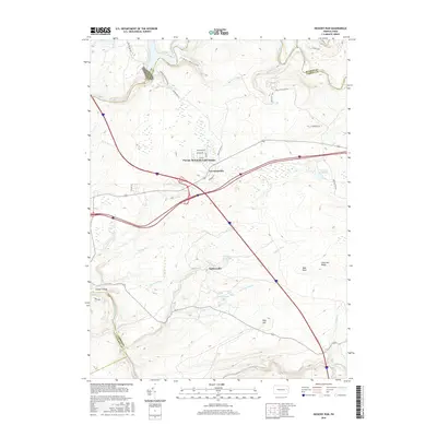
1943 Mauch Chunk
Carbon County, PA

1943 Stoddartsville
Carbon County, PA
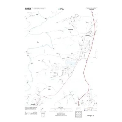
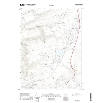
1960 Christmans
Carbon County, PA
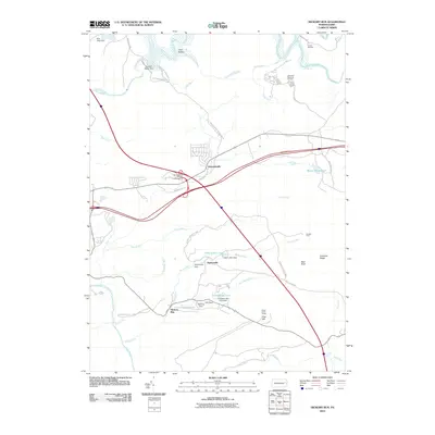
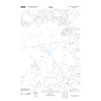
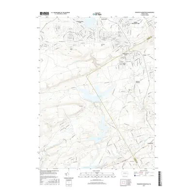
1960 Pohopco Mountain
Carbon County, PA
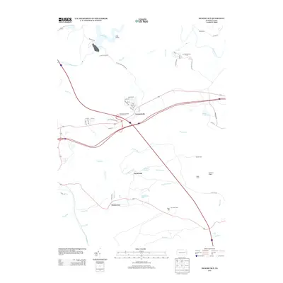
1966 Hickory Run
Carbon County, PA
1976 Hickory Run
Carbon County, PA
1976 Pohopco Mountain
Carbon County, PA
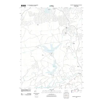
1992 Hickory Run
Carbon County, PA
1997 Christmans
Carbon County, PA
1997 Hickory Run
Carbon County, PA
1999 Pohopoco Mountain
Carbon County, PA
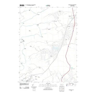
2010 Christmans
Carbon County, PA
2010 Hickory Run
Carbon County, PA
2010 Pohopoco Mountain
Carbon County, PA
2013 Christmans
Carbon County, PA
2013 Hickory Run
Carbon County, PA
2013 Pohopoco Mountain
Carbon County, PA
2016 Christmans
Carbon County, PA
2016 Hickory Run
Carbon County, PA
2016 Pohopoco Mountain
Carbon County, PA
2019 Christmans
Carbon County, PA
2019 Hickory Run
Carbon County, PA
2019 Pohopoco Mountain
Carbon County, PA
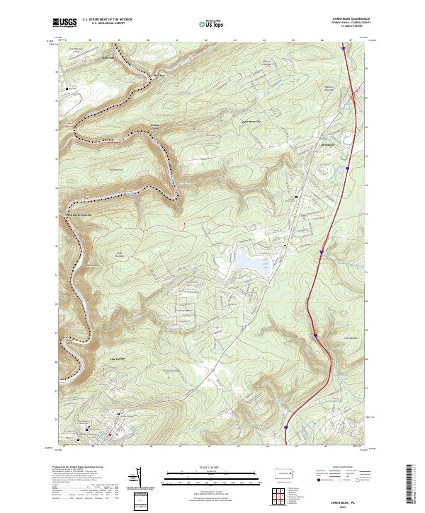
2023 Christmans
Carbon County, PA
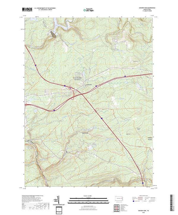
2023 Hickory Run
Carbon County, PA
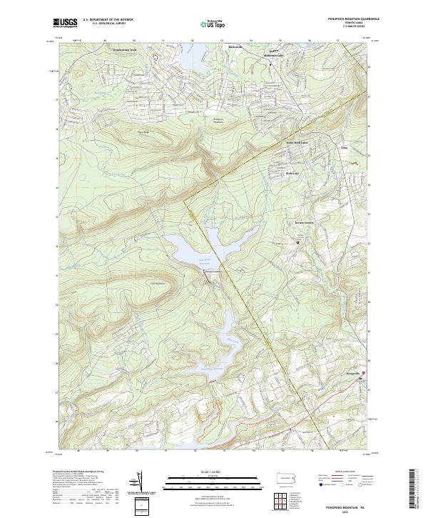
2023 Pohopoco Mountain
Carbon County, PA