
1911 Map of Hamburg
USGS Topo · Published 1911About this map
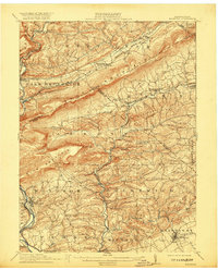
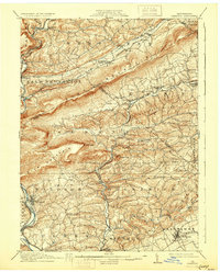
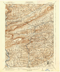
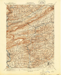
Blue Mountain dominates the central landscape of this 1911 survey, serving as a dramatic physical divider between the drainage of Lizard Creek to the north and the rolling agricultural lands of Albany and Greenwich townships to the south. The area is characterized by a dense network of early 20th-century rural infrastructure, where the Philadelphia And Reading RR and Lehigh Valley RR follow the winding course of the Schuylkill River and its tributaries.
Find a feature on this map
88 named features on this map. Tap any name to fly to it.
Don’t see what you’re looking for? This feature index may not catch every label — zoom into the map to look around manually.
Map Details
Editions of this 1911 Hamburg Map
5 editions found
Other maps of this area

1889 · Hazleton
USGS Topo · 1:62,500

1889 · Pottsville
USGS Topo · 1:62,500

1891 · Hazleton
USGS Topo · 1:62,500

1891 · Pottsville
USGS Topo · 1:62,500

1892 · Mahanoy
USGS Topo · 1:62,500

1893 · Hazleton
USGS Topo · 1:62,500

1893 · Mahanoy
USGS Topo · 1:62,500

1894 · Reading
USGS Topo · 1:62,500

1902 · Boyertown
USGS Topo · 1:62,500

1902 · Wernersville
USGS Topo · 1:62,500