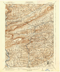
1911 Map of Hamburg
USGS Topo · Published 1938About this map
Blue Mountain and the prominent Shochary Ridge dominate this survey, which captures the rural agricultural and early industrial landscape of Berks, Lehigh, and Schuylkill counties before the mid-century. The Philadelphia and Reading RR snakes through the valley of the Schuylkill River, passing Windsor Castle and the Pennsylvania Blue Locks. In the southern reaches, the famous Crystal Cave is already a noted landmark near Kutztown, while the northern hills are dotted with remote outposts like Snyders and Mantz along the Lizard Creek drainage.
Find a feature on this map
88 named features on this map. Tap any name to fly to it.
Don’t see what you’re looking for? This feature index may not catch every label — zoom into the map to look around manually.
Map Details
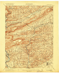
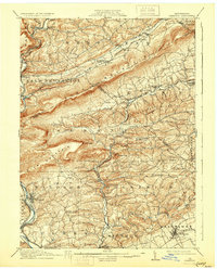
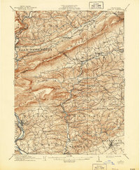
Editions of this 1911 Hamburg Map
5 editions found

Other maps of this area

1889 · Hazleton
USGS Topo · 1:62,500

1889 · Pottsville
USGS Topo · 1:62,500

1891 · Hazleton
USGS Topo · 1:62,500

1891 · Pottsville
USGS Topo · 1:62,500

1892 · Mahanoy
USGS Topo · 1:62,500

1893 · Hazleton
USGS Topo · 1:62,500

1893 · Mahanoy
USGS Topo · 1:62,500

1894 · Reading
USGS Topo · 1:62,500

1902 · Boyertown
USGS Topo · 1:62,500

1902 · Wernersville
USGS Topo · 1:62,500