
Loading...
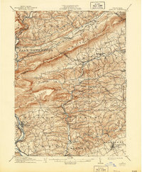
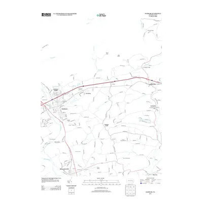
Loading map...1909 Map of Hamburg
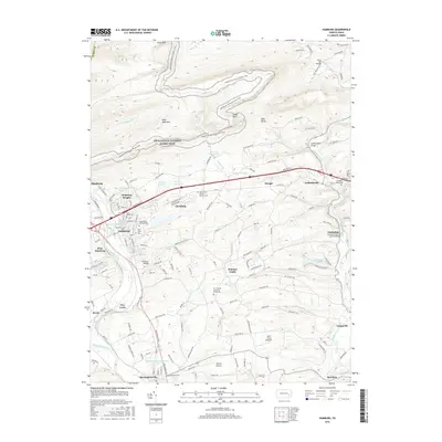
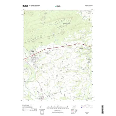
USGS Topo · Published 1957About this map
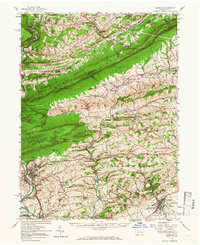
Blue Mountain serves as the dominant spine of this landscape, dividing the agricultural valleys of Berks and Schuylkill counties. At the turn of the century, the region's economy was anchored by the Schuylkill River and a dense network of competing rail lines, including the Lehigh Valley RR and the Philadelphia and Reading RR. These transit corridors facilitated movement between agrarian hubs like Kempton and industrial nodes such as New Ringgold.
Find a feature on this map
77 named features on this map. Tap any name to fly to it.
Don’t see what you’re looking for? This feature index may not catch every label — zoom into the map to look around manually.
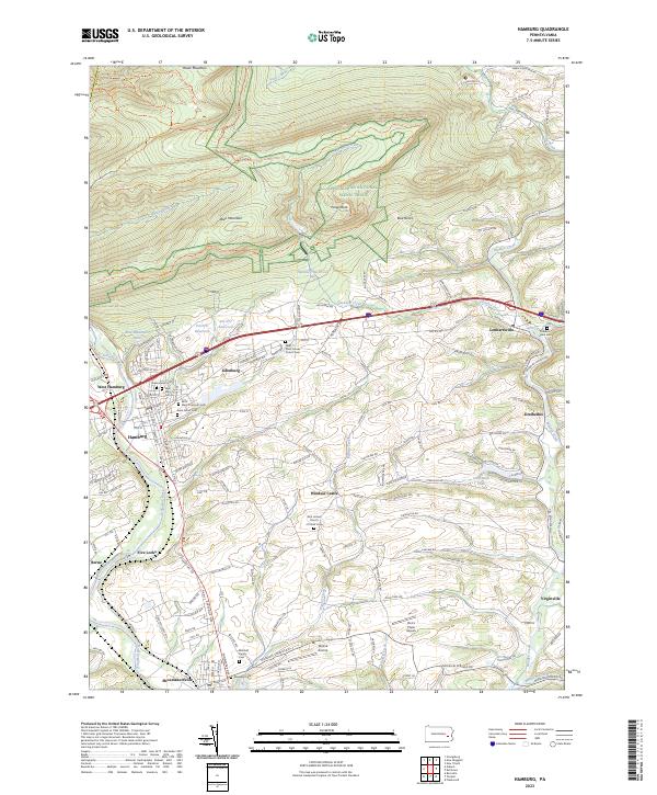
Map Details
Date Portrayed1909
Date Published1957
PublisherU.S. Geological Survey
Map TypeTopographic
Scale1:62,500
Physical Dimensions17 x 20.9 inches
Editions of this 1909 Hamburg Map
This is the sole edition of this map. No revisions or reprints were ever made.
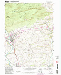
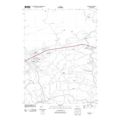
Historical Maps of Maxatawny Township Through Time
9 maps found
Featured Locations
Source Details
SourceU.S. Geological Survey
CopyrightPublic Domain